Area Overview for DE1 1DX
Photos of DE1 1DX
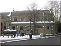
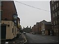
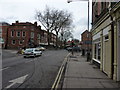
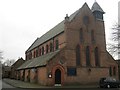
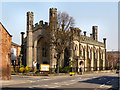
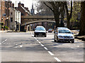
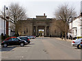
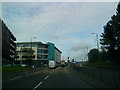
100 photos from this area
Area Information
Key information about the DE1 1DX including its size, population, and administrative classification.
- Area Type
- Postcode
- Area Size
- 1.3 hectares
- Population
- 1942
- Population Density
- 5467 people/km²
House Prices in DE1 1DX
67
Properties
£151,388
Average Sold Price
£23,000
Lowest Price
£905,000
Highest Price
Showing 67 properties
| Address | Type | Beds | Baths | Last Sale Price | Last Sale Date | |
|---|---|---|---|---|---|---|
| 61 Markeaton Street, Derby, DE1 1DX | Semi-detached | 2 | 1 | £140,000 | Jun 2024 | |
| 29 Markeaton Street, Derby, DE1 1DX | house | - | - | £150,000 | Sep 2023 | |
| 113 Markeaton Street, Derby, DE1 1DX | Terraced | 3 | - | £182,000 | Sep 2023 | |
| 125 Markeaton Street, Derby, DE1 1DX | Semi-detached | 3 | 1 | £185,000 | Jun 2023 | |
| 127 Markeaton Street, Derby, DE1 1DX | house | - | - | £200,000 | Feb 2023 | |
| 119 Markeaton Street, Derby, DE1 1DX | house | 1 | 4 | £189,000 | Feb 2022 | |
| 11 Markeaton Street, Derby, DE1 1DX | Terraced | 3 | 1 | £152,500 | Feb 2021 | |
| 65 Markeaton Street, Derby, DE1 1DX | Semi-detached | 2 | 1 | £135,000 | Jun 2019 | |
| 27 Markeaton Street, Derby, DE1 1DX | house | 2 | 1 | £108,000 | Mar 2019 | |
| 9 Markeaton Street, Derby, DE1 1DX | Terraced | 3 | 1 | £122,000 | Oct 2018 |
Page 1 of 7
Energy Efficiency in DE1 1DX
Amenities
Schools
| Rank | School | Type | Entry gender | Ages |
|---|
Explore more schools in this area
Go to Schools tabDemographics
Household Size
One person
most common
Accommodation Type
Flats
most common
Tenure
26
majority
Ethnic Group
White
most common
Religion
N/A
most common
Household Composition
N/A
most common
Age
22
median
Young Adults (15-29 years)
most common
Household Deprivation
N/A
with no deprivation
NS-SEC
19
in Lower managerial occupations
Explore more demographic insights in this area
Go to Demographics tabPlanning
Planning Constraints
- Flood RiskPremium
- Ramsar Wetland SitesPremium
- Area of Outstanding Natural BeautyPremium
- Protected Nature ReservePremium
- Protected WoodlandPremium