Area Overview for Daleacre Hill Ward
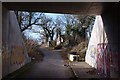
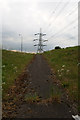
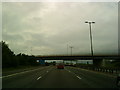
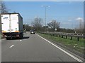
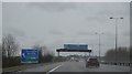
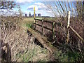
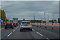
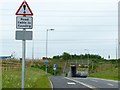
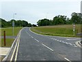
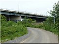
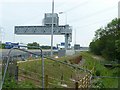
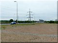
Photos of Daleacre Hill Ward
Area Information
Daleacre Hill Ward covers an area of 16.9 square kilometres within the district borough unitary. Living in Daleacre Hill Ward involves navigating a landscape defined by specific environmental constraints and a distinct demographic profile. The ward does not contain any Ramsar wetland sites, Areas of Outstanding Natural Beauty, or protected nature reserves, which simplifies certain planning considerations for potential buyers. However, the presence of protected woodland introduces specific planning constraints that you must consider. The expanse of land supports a community where daily life is characterised by an older population profile and a high rate of household stability. You will find that homes in Daleacre Hill Ward are situated in an environment where 63 per cent of residents own their properties. This statistic indicates a settled community rather than a transient rental market. Daily rituals involve navigating areas marked with critical flood risk warnings, a significant factor for anyone evaluating the long-term viability and safety of a prospective home. While the ward passes assessments for protected status zones, the criminal risk rating presents a challenge, with current metrics indicating a medium level of crime that requires standard security precautions. Residents balance the practicalities of living near protected woodland with the need for robust security measures against an average crime rate.
- Area Type
- District Borough Unitary Ward
- Area Size
- 16.9 km²
- Population
- Not available
- Population Density
- Not available
Demographics
The demographic profile of Daleacre Hill Ward reveals a community with a statistically distinct age structure. The median age for residents is 70, which suggests the area functions primarily as a retirement destination or a place where younger generations move more frequently for other purposes. You will encounter a population where the most common age range falls under the broader total category, reflecting a lack of a dense youth demographic in the 0-to-15 or 50-to-60 brackets. This ageing profile influences the type of homes in Daleacre Hill Ward, as families with young children may find fewer neighbours in similar life stages. Home ownership represents a major characteristic of the local household composition. Exactly 63 per cent of residents own their homes outright or with a mortgage, creating a community with significant investment stakes in the location. This high ownership rate typically correlates with greater community stability and lower turnover compared to rental-dominated districts. The ward accommodates a total household population, meaning the data aggregates all living arrangements without filtering for single-person homes or families with dependents. There is no breakdown provided for predominant ethnic groups or religious affiliations within the available statistics, so the diversity of the community is not quantified in the current dataset. Deprivation levels are not detailed in the provided figures, leaving the economic disparity within the ward undefined by specific metrics.
Household Size
Accommodation Type
Tenure
Ethnic Group
Religion
Household Composition
Age
Household Deprivation
NS-SEC
Explore more demographic insights in this area
Go to Demographics tabPlanning
Planning Constraints
- Flood RiskLocked
- Ramsar Wetland SitesLocked
- Area of Outstanding Natural BeautyLocked
- Protected Nature ReserveLocked
- Protected WoodlandLocked
- Crime RiskLocked