Area Overview for CV9 3LP
Photos of CV9 3LP
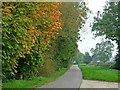
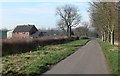
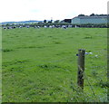
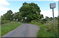
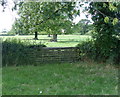
5 photos from this area
Area Information
Key information about the CV9 3LP including its size, population, and administrative classification.
- Area Type
- Postcode
- Area Size
- 82.1 hectares
- Population
- 1368
- Population Density
- 87 people/km²
House Prices in CV9 3LP
26
Properties
£274,144
Average Sold Price
£92,950
Lowest Price
£552,500
Highest Price
Showing 26 properties
| Address | Type | Beds | Baths | Last Sale Price | Last Sale Date | |
|---|---|---|---|---|---|---|
| 10 Atterton Lane, Witherley, CV9 3LP | Bungalow | 5 | 3 | £552,500 | Feb 2024 | |
| 26 Atterton Lane, Witherley, CV9 3LP | Semi-detached | 3 | 2 | £302,000 | Mar 2021 | |
| 15 Atterton Lane, Witherley, CV9 3LP | house | - | - | £343,000 | Feb 2021 | |
| 25 Atterton Lane, Witherley, CV9 3LP | house | - | - | £385,000 | Aug 2019 | |
| 34 Atterton Lane, Witherley, CV9 3LP | Detached | 4 | 1 | £340,000 | Nov 2018 | |
| 38 Atterton Lane, Witherley, CV9 3LP | Detached | - | - | £340,000 | Nov 2018 | |
| 14 Atterton Lane, Witherley, CV9 3LP | Semi-detached | 3 | 1 | £236,000 | Aug 2018 | |
| 23 Atterton Lane, Witherley, CV9 3LP | Semi-detached | 3 | 1 | £375,000 | Sep 2016 | |
| 17 Atterton Lane, Witherley, CV9 3LP | Bungalow | 3 | - | £260,000 | Feb 2011 | |
| 30 Atterton Lane, Witherley, CV9 3LP | house | - | - | £222,000 | Oct 2010 |
Page 1 of 3
Energy Efficiency in CV9 3LP
Amenities
Schools
| Rank | School | Type | Entry gender | Ages |
|---|
Explore more schools in this area
Go to Schools tabDemographics
Household Size
Two person
most common
Accommodation Type
Houses
most common
Tenure
86
majority
Ethnic Group
White
most common
Religion
N/A
most common
Household Composition
N/A
most common
Age
47
median
Adults (30-64 years)
most common
Household Deprivation
N/A
with no deprivation
NS-SEC
40
in Lower managerial occupations
Explore more demographic insights in this area
Go to Demographics tabPlanning
Planning Constraints
- Flood RiskPremium
- Ramsar Wetland SitesPremium
- Area of Outstanding Natural BeautyPremium
- Protected Nature ReservePremium
- Protected WoodlandPremium