Area Overview for CV13 6LZ
Photos of CV13 6LZ
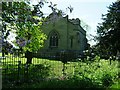
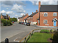
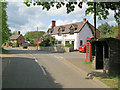
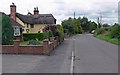
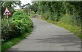
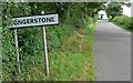
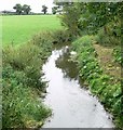
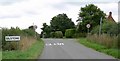
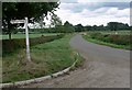
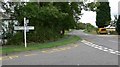
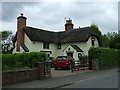
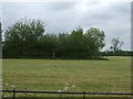
30 photos from this area
Area Information
Key information about the CV13 6LZ including its size, population, and administrative classification.
- Area Type
- Postcode
- Area Size
- 8.4 hectares
- Population
- 2174
- Population Density
- 78 people/km²
House Prices in CV13 6LZ
43
Properties
£710,115
Average Sold Price
£81,500
Lowest Price
£10,500,000
Highest Price
Showing 43 properties
| Address | Type | Beds | Baths | Last Sale Price | Last Sale Date | |
|---|---|---|---|---|---|---|
| 39 Main Street, Congerstone, CV13 6LZ | Detached | 5 | 2 | £625,000 | Sep 2024 | |
| 17 Main Street, Congerstone, CV13 6LZ | house | 1 | 1 | £185,000 | Feb 2023 | |
| 46 Main Street, Congerstone, CV13 6LZ | house | - | - | £590,000 | Dec 2022 | |
| Old Ivy House, 35 Main Street, Congerstone, CV13 6LZ | Farm | 7 | 6 | £805,000 | Jun 2021 | |
| Congerstone House, 40 Main Street, Congerstone, CV13 6LZ | Terraced | 2 | 1 | £630,000 | Dec 2020 | |
| 29 Main Street, Congerstone, CV13 6LZ | house | 2 | 1 | £230,000 | Jul 2019 | |
| Fox Covert Farm Cottage, Main Street, Congerstone, CV13 6LZ | Semi-detached | 3 | 1 | £10,500,000 | Feb 2018 | |
| 106 Main Street, Congerstone, CV13 6LZ | house | - | - | £245,000 | Dec 2017 | |
| 21 Main Street, Congerstone, CV13 6LZ | Bungalow | 1 | - | £110,000 | Mar 2015 | |
| 25 Main Street, Congerstone, CV13 6LZ | Terraced | 2 | 1 | £160,000 | Jul 2014 |
Page 1 of 5
Energy Efficiency in CV13 6LZ
Amenities
Schools
| Rank | School | Type | Entry gender | Ages |
|---|
Explore more schools in this area
Go to Schools tabDemographics
Household Size
Two person
most common
Accommodation Type
Houses
most common
Tenure
77
majority
Ethnic Group
White
most common
Religion
N/A
most common
Household Composition
N/A
most common
Age
47
median
Adults (30-64 years)
most common
Household Deprivation
N/A
with no deprivation
NS-SEC
47
in Lower managerial occupations
Explore more demographic insights in this area
Go to Demographics tabPlanning
Planning Constraints
- Flood RiskPremium
- Ramsar Wetland SitesPremium
- Area of Outstanding Natural BeautyPremium
- Protected Nature ReservePremium
- Protected WoodlandPremium