Area Overview for CV13 6JD
Photos of CV13 6JD
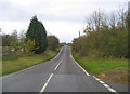
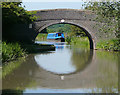
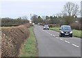
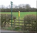
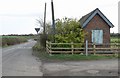
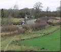
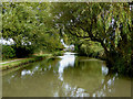
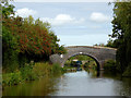
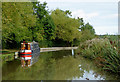
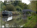
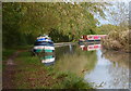
26 photos from this area
Area Information
Key information about the CV13 6JD including its size, population, and administrative classification.
- Area Type
- Postcode
- Area Size
- 82.5 hectares
- Population
- 2255
- Population Density
- 279 people/km²
House Prices in CV13 6JD
22
Properties
£546,750
Average Sold Price
£380,000
Lowest Price
£820,000
Highest Price
Showing 22 properties
| Address | Type | Beds | Baths | Last Sale Price | Last Sale Date | |
|---|---|---|---|---|---|---|
| 14 Shenton Lane, Dadlington, CV13 6JD | house | - | - | £626,250 | Jan 2023 | |
| Fenn House, 11A Shenton Lane, Dadlington, CV13 6JD | house | - | - | £820,000 | Nov 2020 | |
| The Bungalow, 15 Shenton Lane, Dadlington, CV13 6JD | house | - | - | £695,000 | Aug 2020 | |
| 10 Shenton Lane, Dadlington, CV13 6JD | house | - | - | £392,000 | Mar 2017 | |
| Highfields, 11 Shenton Lane, Dadlington, CV13 6JD | Detached | 4 | 3 | £380,000 | Dec 2015 | |
| Wharf House, 18 Shenton Lane, Dadlington, CV13 6JD | Detached | - | - | £525,000 | Aug 2009 | |
| Ramsey House, 16 Shenton Lane, Dadlington, CV13 6JD | Detached | - | - | £389,000 | Jun 2003 | |
| 17 Shenton Lane, Dadlington, CV13 6JD | Detached | 5 | 2 | - | - | |
| The Cuttings, 7 Shenton Lane, Dadlington, CV13 6JD | Bungalow | 2 | 1 | - | - | |
| Tal-y-llyn, 8 Shenton Lane, Dadlington, CV13 6JD | Detached | 5 | 3 | - | - |
Page 1 of 3
Energy Efficiency in CV13 6JD
Amenities
Schools
| Rank | School | Type | Entry gender | Ages |
|---|
Explore more schools in this area
Go to Schools tabDemographics
Household Size
Two person
most common
Accommodation Type
Houses
most common
Tenure
84
majority
Ethnic Group
White
most common
Religion
N/A
most common
Household Composition
N/A
most common
Age
47
median
Adults (30-64 years)
most common
Household Deprivation
N/A
with no deprivation
NS-SEC
41
in Lower managerial occupations
Explore more demographic insights in this area
Go to Demographics tabPlanning
Planning Constraints
- Flood RiskPremium
- Ramsar Wetland SitesPremium
- Area of Outstanding Natural BeautyPremium
- Protected Nature ReservePremium
- Protected WoodlandPremium