Area Overview for CV13 6EB
Photos of CV13 6EB
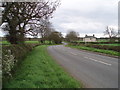
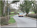
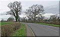
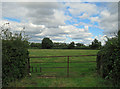
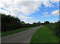
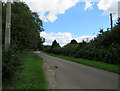
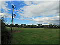
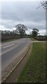


13 photos from this area
Area Information
Key information about the CV13 6EB including its size, population, and administrative classification.
- Area Type
- Postcode
- Area Size
- 7.5 hectares
- Population
- 2255
- Population Density
- 279 people/km²
House Prices in CV13 6EB
19
Properties
£171,714
Average Sold Price
£25,000
Lowest Price
£365,000
Highest Price
Showing 19 properties
| Address | Type | Beds | Baths | Last Sale Price | Last Sale Date | |
|---|---|---|---|---|---|---|
| 4 Pine Close, Stoke Golding, CV13 6EB | Semi-detached | 3 | 1 | £210,000 | Jan 2025 | |
| 3 Pine Close, Stoke Golding, CV13 6EB | house | 2 | 1 | £198,000 | May 2020 | |
| 12 Pine Close, Stoke Golding, CV13 6EB | Maisonette | 2 | 1 | £108,000 | May 2017 | |
| 7 Pine Close, Stoke Golding, CV13 6EB | Semi-detached | 2 | 1 | £162,000 | Mar 2016 | |
| 26 Pine Close, Stoke Golding, CV13 6EB | house | 5 | - | £365,000 | Oct 2011 | |
| 22 Pine Close, Stoke Golding, CV13 6EB | house | 4 | - | £134,000 | Aug 1999 | |
| 24 Pine Close, Stoke Golding, CV13 6EB | house | - | - | £25,000 | Aug 1996 | |
| 10 Pine Close, Stoke Golding, CV13 6EB | Flat | - | - | - | - | |
| 1 Pine Close, Stoke Golding, CV13 6EB | house | - | - | - | - | |
| 16 Pine Close, Stoke Golding, CV13 6EB | Flat | - | - | - | - |
Page 1 of 2
Energy Efficiency in CV13 6EB
Amenities
Schools
| Rank | School | Type | Entry gender | Ages |
|---|
Explore more schools in this area
Go to Schools tabDemographics
Household Size
Two person
most common
Accommodation Type
Houses
most common
Tenure
84
majority
Ethnic Group
White
most common
Religion
N/A
most common
Household Composition
N/A
most common
Age
47
median
Adults (30-64 years)
most common
Household Deprivation
N/A
with no deprivation
NS-SEC
41
in Lower managerial occupations
Explore more demographic insights in this area
Go to Demographics tabPlanning
Planning Constraints
- Flood RiskPremium
- Ramsar Wetland SitesPremium
- Area of Outstanding Natural BeautyPremium
- Protected Nature ReservePremium
- Protected WoodlandPremium