Area Overview for CV13 0NB
Photos of CV13 0NB
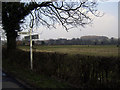
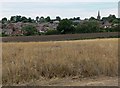
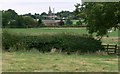
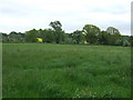
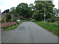
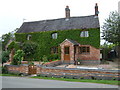
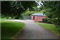
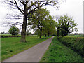
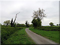
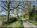
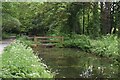
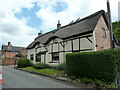
44 photos from this area
Area Information
Key information about the CV13 0NB including its size, population, and administrative classification.
- Area Type
- Postcode
- Area Size
- 3.7 hectares
- Population
- 2174
- Population Density
- 78 people/km²
House Prices in CV13 0NB
46
Properties
£224,324
Average Sold Price
£57,500
Lowest Price
£435,000
Highest Price
Showing 46 properties
| Address | Type | Beds | Baths | Last Sale Price | Last Sale Date | |
|---|---|---|---|---|---|---|
| 32 Stanley Road, Market Bosworth, CV13 0NB | Bungalow | 2 | 1 | £340,000 | Sep 2025 | |
| 13 Stanley Road, Market Bosworth, CV13 0NB | Detached | 4 | 1 | £435,000 | Aug 2025 | |
| 12 Stanley Road, Market Bosworth, CV13 0NB | house | - | - | £315,000 | Feb 2025 | |
| 11 Stanley Road, Market Bosworth, CV13 0NB | house | - | - | £330,000 | Mar 2024 | |
| 17 Stanley Road, Market Bosworth, CV13 0NB | house | - | - | £392,500 | Nov 2023 | |
| 21 Stanley Road, Market Bosworth, CV13 0NB | Semi-detached | 3 | 1 | £290,000 | Feb 2022 | |
| 6 Stanley Road, Market Bosworth, CV13 0NB | house | - | - | £287,500 | Jun 2021 | |
| 5 Stanley Road, Market Bosworth, CV13 0NB | house | - | - | £295,000 | Oct 2020 | |
| 45 Stanley Road, Market Bosworth, CV13 0NB | Semi-detached | 3 | 1 | £250,000 | Jul 2017 | |
| 34 Stanley Road, Market Bosworth, CV13 0NB | Bungalow | 2 | 1 | £168,000 | Nov 2014 |
Page 1 of 5
Energy Efficiency in CV13 0NB
Amenities
Schools
| Rank | School | Type | Entry gender | Ages |
|---|
Explore more schools in this area
Go to Schools tabDemographics
Household Size
Two person
most common
Accommodation Type
Houses
most common
Tenure
77
majority
Ethnic Group
White
most common
Religion
N/A
most common
Household Composition
N/A
most common
Age
47
median
Adults (30-64 years)
most common
Household Deprivation
N/A
with no deprivation
NS-SEC
47
in Lower managerial occupations
Explore more demographic insights in this area
Go to Demographics tabPlanning
Planning Constraints
- Flood RiskPremium
- Ramsar Wetland SitesPremium
- Area of Outstanding Natural BeautyPremium
- Protected Nature ReservePremium
- Protected WoodlandPremium