Area Overview for CV13 0AT
Photos of CV13 0AT
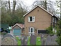
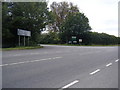
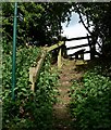
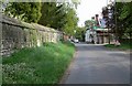
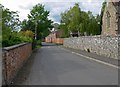
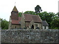
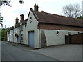
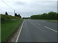
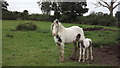

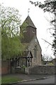
44 photos from this area
Area Information
Key information about the CV13 0AT including its size, population, and administrative classification.
- Area Type
- Postcode
- Area Size
- 1.5 hectares
- Population
- 1510
- Population Density
- 166 people/km²
House Prices in CV13 0AT
8
Properties
£449,500
Average Sold Price
£325,000
Lowest Price
£600,000
Highest Price
Showing 8 properties
| Address | Type | Beds | Baths | Last Sale Price | Last Sale Date | |
|---|---|---|---|---|---|---|
| Forge House, Church Lane, Cadeby, CV13 0AT | house | - | - | £600,000 | May 2023 | |
| Little End, Church Lane, Cadeby, CV13 0AT | Bungalow | 2 | 2 | £325,000 | Apr 2021 | |
| Three Chimneys Cottage, Church Lane, Cadeby, CV13 0AT | house | - | - | £440,000 | Feb 2014 | |
| The Sidings, Church Lane, Cadeby, CV13 0AT | Semi-detached | 3 | - | £433,000 | Dec 2013 | |
| The Stables, Church Lane, Cadeby, CV13 0AT | house | - | - | - | - | |
| Church Farm House, Church Lane, Cadeby, CV13 0AT | house | - | - | - | - | |
| Village Hall, Church Lane, Cadeby, CV13 0AT | community_day_centre | - | - | - | - | |
| Mulberry House, Church Lane, Cadeby, CV13 0AT | Detached | - | - | - | - |
Energy Efficiency in CV13 0AT
Amenities
Schools
| Rank | School | Type | Entry gender | Ages |
|---|
Explore more schools in this area
Go to Schools tabDemographics
Household Size
Two person
most common
Accommodation Type
Houses
most common
Tenure
80
majority
Ethnic Group
White
most common
Religion
N/A
most common
Household Composition
N/A
most common
Age
47
median
Adults (30-64 years)
most common
Household Deprivation
N/A
with no deprivation
NS-SEC
48
in Lower managerial occupations
Explore more demographic insights in this area
Go to Demographics tabPlanning
Planning Constraints
- Flood RiskPremium
- Ramsar Wetland SitesPremium
- Area of Outstanding Natural BeautyPremium
- Protected Nature ReservePremium
- Protected WoodlandPremium