Area Overview for Crich & South Wingfield Ward
Photos of Crich & South Wingfield Ward
Area Information
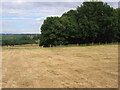
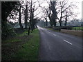
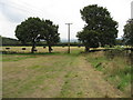
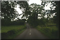
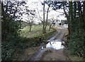
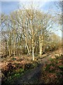
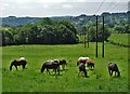
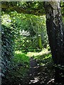
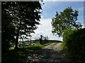
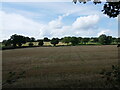
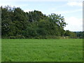
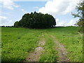
Crich & South Wingfield Ward occupies a distinct position within the East Midlands, spanning 32.0 km² of landscape in the Amber Valley Borough Council area. You are living in a district that blends a historic coal-mining heritage with a present-day mixed rural community. The ward comprises two main settlements: Crich, which lies approximately 2 miles away, and South Wingfield, a village and civil parish roughly 6 miles from Matlock. The River Amber flows through the lower parts of the South Wingfield parish, shaping the local environment. This area feels distinctly village-based rather than suburban or urban. The settlement patterns remain traditional, centred around hubs like the Market Place in South Wingfield where Manor Road, Church Lane, Inns Lane, and the High Road converge. The B5035 'B' class road provides the primary surface transport route through the district. While the economy historically depended on coal extraction, the community has diversified beyond that industrial past. As you consider homes in Crich & South Wingfield Ward, understand that daily life here revolves around close-knit community infrastructure rather than the density found in larger towns. The ward boundaries, established as part of ongoing local government changes, currently code the area as E05014696, placing it firmly within the geography of Derbyshire.
- Area Type
- District Borough Unitary Ward
- Area Size
- 32.0 km²
- Population
- Not available
- Population Density
- Not available
Demographics
The people calling Crich & South Wingfield Ward home reflect a mature community profile. The median age across the ward sits at 70 years, indicating that residents are predominantly senior citizens. This demographic skew suggests the area appeals to those seeking a quieter retirement life rather than families with young children or young professionals establishing careers. With 78% of households reporting home ownership, you are moving into a neighbourhood defined by long-term stability. A high proportion of residents have remained in the area for decades, building deep roots rather than cycling through transient tenancies. The household composition and accommodation type data confirm this stable environment, though specific breakdowns of family units versus single-person households are not detailed in the current records. Diversity in terms of predominant ethnic group and religious affiliation is recorded under total parish data, indicating a traditionally homogenous population typical of many Derbyshire villages. Crime risk assessments indicate a safe environment with scores consistently below average, reinforcing the perception of a low-threat neighbourhood. When you live in Crich & South Wingfield Ward, you join a community where the social fabric is woven from long-term residency and a deep connection to the local landscape. The absence of significant youth populations means social activities often centre on services catering to older adults.
Household Size
Accommodation Type
Tenure
Ethnic Group
Religion
Household Composition
Age
Household Deprivation
NS-SEC
Explore more demographic insights in this area
Go to Demographics tabPlanning
Planning Constraints
- Flood RiskPremium
- Ramsar Wetland SitesPremium
- Area of Outstanding Natural BeautyPremium
- Protected Nature ReservePremium
- Protected WoodlandPremium
- Crime RiskPremium