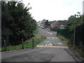
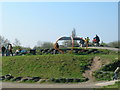
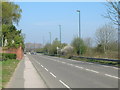
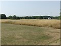
Area Overview for Bulwell Ward
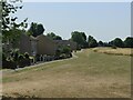
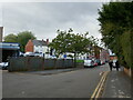
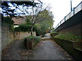
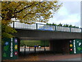
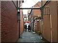
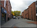
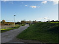
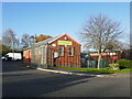
Photos of Bulwell Ward
Area Information
Bulwell Ward is a small but established district located in the City of Nottingham district of Nottinghamshire. You are looking at a specific locality that spans just 5.4 square kilometres. The area holds a resident population of 1,557 people, creating a relatively dense environment with 289 people per square kilometre. This ward sits approximately 3.5 miles, or 6 kilometres, south-west of Nottingham city centre, placing it within easy reach of the urban core while retaining local character. The settlement originated from a medieval bridge and toll gatehouse, which spurred early growth around a church dating back to the 1134s. By 1223, locals held the manor and church advowson, laying the foundations for the community you are considering today. The Market Place remains a central landmark, having changed little since medieval times and hosting regular activity on Tuesdays, Fridays, and Saturdays. St Mary's Church stands on this historic site, rebuilt between 1849 and 1850. To the east, you will find the foundation of St John's Church, consecrated in 1885. This area offers a distinct history; Bulwell Hall, built in 1770, operated as a sanatorium before its demolition in 1956. The ward provides a compact living space where historic architecture meets modern life for residents of Bulwell Ward.
- Area Type
- District Borough Unitary Ward
- Area Size
- 5.4 km²
- Population
- 1557
- Population Density
- 289 people/km²
Demographics
The community within Bulwell Ward has a distinctly mature demographic profile. The median age for residents is 70 years, indicating an older population compared to many other parts of the countryside. Housing data confirms this trend, with 42% of residents owning their homes outright or with a mortgage. The remaining 58% live in rented accommodation. You will find that household compositions vary, though the overall dataset does not break down specific family structures. The ward contains a mix of accommodation types, though no single category dominates the statistics. Despite the absence of detailed breakdowns for ethnic groups or religious affiliations, the area functions as a traditional residential zone. Median age figures paint a clear picture of a retirement-friendly or older demographic environment. The high median age of 70 suggests that daily life in Bulwell Ward centres around the needs and routines of established residents. Any analysis of the community must acknowledge this significant age skew, as it influences local services, social activities, and general neighbourhood dynamics. For buyers assessing Bulwell Ward, understanding this age context is essential for gauging the fit with your own lifestyle requirements.
Household Size
Accommodation Type
Tenure
Ethnic Group
Religion
Household Composition
Age
Household Deprivation
NS-SEC
Explore more demographic insights in this area
Go to Demographics tabPlanning
Planning Constraints
- Flood RiskPremium
- Ramsar Wetland SitesPremium
- Area of Outstanding Natural BeautyPremium
- Protected Nature ReservePremium
- Protected WoodlandPremium
- Crime RiskPremium