Area Overview for Braunstone Ravenhurst Ward
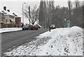
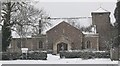
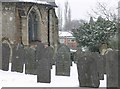
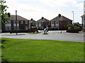
Photos of Braunstone Ravenhurst Ward
Area Information
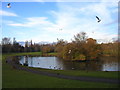
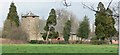
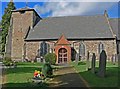
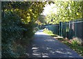
Living in Braunstone Ravenhurst Ward offers a defined residential experience within a compact geographical footprint. This ward sits within the Braunstone civil parish in the Blaby District of the East Midlands, covering a precise area of 1.5 square kilometres. Your daily life here is shaped by the location's specific boundaries and its position at approximately 52.6139°N, -1.1783°E. The ward functions as a distinct electoral unit, contributing to the broader administrative structure of the local district. You can expect a setting characterised by clear municipal governance and local engagement, typical of areas managed by a dedicated town council. The sizeable location ensures that你不是 living on a single street, but rather within a neighbourhood with established infrastructure. Karl Ravenhurst Ward provides a stable environment where residents interact with the Blaby District Council's services directly. The area's identity remains rooted in its historical designation as part of the village of Braunstone, which has influenced its planning and development over time. Whether you are navigating the local roads or attending community meetings, you are operating within a well-documented jurisdiction. This 1.5 square kilometre zone allows for a sense of proximity while accommodating a household population. Your experience of this area will be defined by these solid administrative foundations and the tangible boundaries that shape your daily commutes and local interactions.
- Area Type
- District Borough Unitary Ward
- Area Size
- 1.5 km²
- Population
- Not available
- Population Density
- Not available
Demographics
Household Size
Accommodation Type
Tenure
Ethnic Group
Religion
Household Composition
Age
Household Deprivation
NS-SEC
Explore more demographic insights in this area
Go to Demographics tabPlanning
Planning Constraints
- Flood RiskPremium
- Ramsar Wetland SitesPremium
- Area of Outstanding Natural BeautyPremium
- Protected Nature ReservePremium
- Protected WoodlandPremium
- Crime RiskPremium