Area Overview for Bingham South Ward
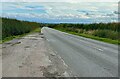
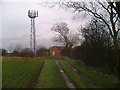
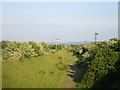
Photos of Bingham South Ward
Area Information
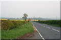
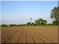
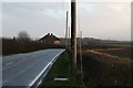
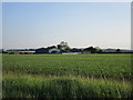
Living in Bingham South Ward means residing within a compact district borough unitary ward covering just 8.6 square kilometres. This area represents a significant portion of the local housing stock, characterised by a very specific age profile that distinguishes it from many other UK locations. The community is defined by its senior residents, creating a place where life often moves at a slower, more settled pace. You will find that daily life here revolves around proximity and established neighbourhood ties rather than high-speed urban energy. The ward sits firmly within Leicestershire, offering a residential experience focused on stability and long-term permanence. Prospective homebuyers looking for homes in Bingham South Ward encounter an environment built around older occupants. The sheer demographic concentration suggests a neighbourhood designed for retirees and mature households. This is not an area attracting frequent transient populations but rather those seeking to settle down for the remainder of their lives. The 8.6 km² footprint ensures that amenities are relatively close to your doorstep, reducing reliance on long commutes. When you consider living in Bingham South Ward, you are choosing a location where the built environment supports a sedentary, content lifestyle. It is a place where the primary demographic shapes the rhythm of the town, offering a quiet retreat from the busier centres of the East Midlands.
- Area Type
- District Borough Unitary Ward
- Area Size
- 8.6 km²
- Population
- Not available
- Population Density
- Not available
Demographics
The community within Bingham South Ward stems heavily from older residents, with a median age of 70 years. This figure places the area well beyond the national average, confirming that it is a retirement-focused zone rather than a family-centric district. Most age range statistics show that the population skews heavily toward seniors, which dictates the local services, social groups, and housing design. Eighty per cent of residents own their homes, a figure that explains the stability and lack of tenant turnover you will observe while walking through the streets. This high level of home ownership indicates a deep-rooted community where people have lived for decades. Household composition data reinforces this picture of established occupancy. You will encounter few young professionals or transient workers because the demographic makeup simply does not support it. The total population figure reflects a static group of long-term inhabitants who have chosen this ward for its suitability to their life stage. While specific ethnic group and religion breakdowns are not detailed in current records, the 70-year median age suggests a homogenous community of retired locals. For anyone interested in living in Bingham South Ward, understanding this age profile is crucial. It means neighbours are likely to be at similar life stages, fostering a quiet, predictable social environment. The area prioritises comfort and ownership over the energy of youth, making it ideal for those seeking peace rather than social vibrancy.
Household Size
Accommodation Type
Tenure
Ethnic Group
Religion
Household Composition
Age
Household Deprivation
NS-SEC
Explore more demographic insights in this area
Go to Demographics tabPlanning
Planning Constraints
- Flood RiskPremium
- Ramsar Wetland SitesPremium
- Area of Outstanding Natural BeautyPremium
- Protected Nature ReservePremium
- Protected WoodlandPremium
- Crime RiskPremium