Area Overview for Bestwood Village
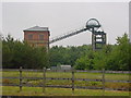
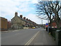
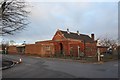
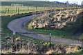
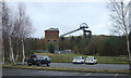
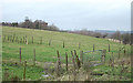
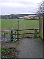
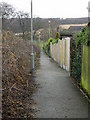
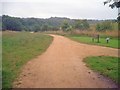
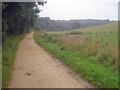
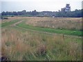
Photos of Bestwood Village

Area Information
Living in Bestwood Village offers a blend of suburban tranquility and practical urban access. Spanning 70.3 hectares, the area is compact yet well-served by transport links and local amenities. With a median age of 70, the community leans towards older residents, creating a distinct demographic profile. This is a place where convenience meets familiarity, with proximity to rail stations, tram stops, and retail outlets within walking distance. The area’s small size means residents can access essential services without lengthy commutes, while the presence of multiple schools, including Hawthorne Primary and Nursery School, ensures families have options for education. Bestwood Village is not a bustling city centre but a settled, functional neighbourhood where daily life revolves around local shops, public transport, and a slower pace. Its appeal lies in its accessibility and the ease of navigating between work, leisure, and home. For those seeking a place with strong community ties and practical infrastructure, Bestwood Village provides a viable option.
- Area Type
- Built Up Area 250
- Area Size
- 70.3 hectares
- Population
- Not available
- Population Density
- Not available
Bestwood Village offers a range of amenities within practical reach. Retail options include Spar Hucknall, Heron Bestwood, and Morrisons Daily Hucknall 141, providing everyday shopping convenience. The area’s five tram stops, such as Bulwell Forest Tram Stop, and three railway stations—Hucknall, Bulwell, and Newstead—facilitate easy travel to nearby hubs. While parks or leisure facilities are not explicitly mentioned in the data, the presence of multiple transport and retail points suggests a functional, community-focused lifestyle. Residents can access daily essentials, public transport, and regional connections without lengthy journeys. The mix of retail and transport options supports a practical, accessible way of life, though specific details on leisure or recreational facilities remain unquantified.
Amenities
Schools
Bestwood Village is served by Hawthorne Primary and Nursery School, a primary school listed twice in the data. No Ofsted ratings are provided, so the quality of education cannot be assessed directly. The presence of a primary school suggests the area is suitable for families with young children, though the absence of secondary schools or further education institutions means parents may need to look beyond the immediate vicinity for comprehensive schooling. The duplication of the school’s name in the data may indicate a data entry error, but the availability of a primary school is a key factor for families prioritising proximity to education. The mix of school types is limited to primary, which could influence the area’s appeal to households with children in that age range.
| Rank | A + A* % | School | Type | Entry gender | Ages |
|---|---|---|---|---|---|
| 1 | N/A | Hawthorne Primary and Nursery School | primary | N/A | N/A |
| 2 | N/A | Hawthorne Primary and Nursery School | primary | N/A | N/A |
Explore more schools in this area
Go to Schools tabDemographics
The demographic profile of Bestwood Village is defined by its median age of 70, indicating a population skewed towards older residents. The most common age range is listed as ‘Total’, which suggests a broad mix but with a significant proportion of those aged 65 and above. Home ownership stands at 68%, reflecting a majority of owner-occupied properties. This figure implies that the area is not dominated by rental properties, though specific data on household types or diversity is not available. The accommodation types and ethnic composition are not detailed in the data, so their influence on the community’s character remains unquantified. The age demographic may affect local services and amenities, with a focus on healthcare and retirement-focused facilities. For prospective buyers, the high home ownership rate suggests a stable, long-term resident base. However, the lack of specific data on household composition or diversity means the full picture of the community’s social dynamics remains incomplete.
Household Size
Accommodation Type
Tenure
Ethnic Group
Religion
Household Composition
Age
Household Deprivation
NS-SEC
Explore more demographic insights in this area
Go to Demographics tabPlanning
Planning Constraints
- Crime RiskLocked