Area Overview for Berridge Ward
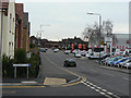
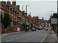
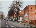
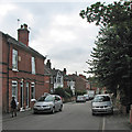
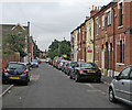
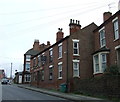
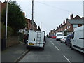
Photos of Berridge Ward

Area Information
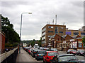
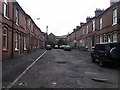
Berridge Ward is a compact district borough unitary ward with a distinctly small footprint by design. You would cover this entire area in just over two minutes travelling by car, as it spans only 2.4 km². Despite its limited physical size, it is densely populated with a community of 7,851 people. This high concentration creates a neighbourhood where distance between homes is minimal, fostering a close-knit environment. Living in Berridge Ward means adapting to a compact living space where local issues quickly become community-wide concerns. The ward functions as a self-contained unit within the broader local authority structure, offering a specific slice of life that differs from sprawling suburban developments. Your daily routine here would be defined by short distances to neighbours and local amenities. The sheer density of 3,222 people per square kilometre suggests a vibrant yet tightly packed existence. You are buying into a community that is both manageable in scale and significant in population presence. This ward presents a clear profile for homebuyers seeking a defined, geographically bounded location rather than an expansive regional postcode area.
- Area Type
- District Borough Unitary Ward
- Area Size
- 2.4 km²
- Population
- 7851
- Population Density
- 3222 people/km²
Demographics
The community profile of Berridge Ward is heavily weighted towards older residents. You will find that the median age is 70, which indicates a demographic dominated by retirees and pensioners. The most common age range focuses on senior citizens, shaping the daily rhythm of the neighbourhood. This age profile likely influences local service demands and community activities, prioritising needs relevant to an older population. Home ownership stands at 44%, meaning just under half of the residents buy their homes outright. Consequently, the other 56% likely reside in rental properties, creating a mixed market dynamic within such a confined space. Household composition and accommodation types reflect this older demographic, though specific breakdowns for these categories remain recorded only as totals in available records. You should expect a quiet atmosphere with fewer young families and children compared to areas with lower median ages. The low home ownership rate suggests significant investment by local landlords or a reliance on long-term tenancies among the younger or mobile demographic. Living in Berridge Ward involves engaging with a generation that has likely established deep roots or settled later in life cycles.
Household Size
Accommodation Type
Tenure
Ethnic Group
Religion
Household Composition
Age
Household Deprivation
NS-SEC
Explore more demographic insights in this area
Go to Demographics tabPlanning
Planning Constraints
- Flood RiskPremium
- Ramsar Wetland SitesPremium
- Area of Outstanding Natural BeautyPremium
- Protected Nature ReservePremium
- Protected WoodlandPremium
- Crime RiskPremium