Area Overview for Batham Gate
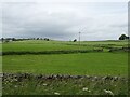
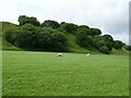
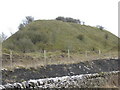
Photos of Batham Gate


Area Information
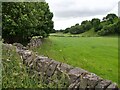
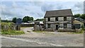
Batham Gate is a built-up area in England covering 30.2 hectares, situated in a region with a distinct character shaped by its demographics and infrastructure. The area’s median age of 70 suggests a community skewed towards older residents, which influences the local atmosphere and services. Despite its compact size, Batham Gate offers practical connectivity to retail and transport hubs, including five retail outlets like Morrisons Daily Buxton and Iceland Buxton, and five railway stations such as Buxton and Dove Holes. This accessibility makes it a viable option for those prioritising convenience. While the area’s profile is defined by its older population, the presence of multiple amenities within walking or short driving distance ensures daily life remains functional. Prospective buyers should consider the balance between the area’s established character and its proximity to essential services, which cater to both residents and visitors. Batham Gate is not a sprawling suburb but a focused, compact community where practicality and proximity to infrastructure take precedence over expansive development.
- Area Type
- Built Up Area 250
- Area Size
- 30.2 hectares
- Population
- Not available
- Population Density
- Not available
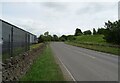
Living in Batham Gate offers access to five retail outlets, including Morrisons Daily Buxton and Iceland Buxton, ensuring a range of shopping options within practical reach. These stores cater to everyday needs, from groceries to household items, reducing the necessity for longer trips. The area’s rail connections, such as Buxton and Dove Holes stations, provide direct links to nearby towns, enhancing mobility for work, leisure, or travel. While the data does not specify parks or leisure facilities, the presence of multiple retail and transport hubs suggests a focus on functional convenience over expansive recreational spaces. The compact nature of Batham Gate means residents can access essentials without significant travel, though those prioritising green spaces or cultural amenities may need to look further afield. The combination of retail and rail options creates a lifestyle that prioritises accessibility and practicality, ideal for those valuing ease of movement and proximity to services.
Amenities
Schools
| Rank | School | Type | Entry gender | Ages |
|---|
Explore more schools in this area
Go to Schools tabDemographics
The population of Batham Gate has a median age of 70, indicating a community predominantly composed of older individuals. This age profile shapes the local dynamics, with services and amenities likely tailored to the needs of this demographic. Home ownership stands at 65%, suggesting a stable residential base where most properties are owner-occupied rather than rented. The data does not specify household types or diversity metrics, but the absence of detailed breakdowns means the community’s composition remains broadly defined. The area’s accommodation types are listed as “total,” which implies a mix of housing stock without specific emphasis on flats, terraced homes, or detached properties. While no figures on deprivation or diversity are provided, the median age and home ownership rate suggest a mature, settled population with established routines. This demographic profile may influence local services, with healthcare and retail options likely geared towards older residents.
Household Size
Accommodation Type
Tenure
Ethnic Group
Religion
Household Composition
Age
Household Deprivation
NS-SEC
Explore more demographic insights in this area
Go to Demographics tabPlanning
Planning Constraints
- Crime RiskPremium