Area Overview for Barms Ward
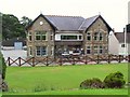
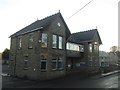
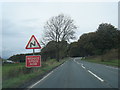
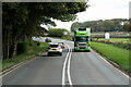
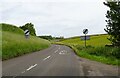
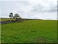
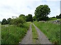
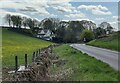
Photos of Barms Ward
Area Information
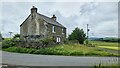
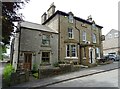
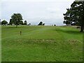
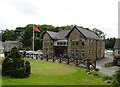
Barms Ward is a compact electoral ward located within the High Peak district of Derbyshire in the East Midlands region. You will find this district borough unitary ward covers an area size of just 2.0 square kilometres. This small footprint shapes the daily reality for anyone considering living in Barms Ward. The location sits firmly within the existing administrative boundaries of the High Peak, offering a defined sense of place within the broader county of Derbyshire. Resident life here is centred on this specific geographical parcel of land. The ward's boundaries are clearly mapped, allowing you to understand exactly where your property sits relative to neighbouring parishes. As part of the East Midlands, the area benefits from the regional identity of Derbyshire without being peripheral to the main population hubs. You move through a recognised jurisdiction with established governance structures and clear administrative links to the wider district council. When you review homes in Barms Ward, you are looking at properties within a well-defined, manageable rural subdivision of the High Peak. The area provides a stable setting for those seeking a location anchored by its specific boundary status rather than sprawling urban expansion.
- Area Type
- District Borough Unitary Ward
- Area Size
- 2.0 km²
- Population
- Not available
- Population Density
- Not available
Demographics
You will find a distinctly senior community if you choose to live in Barms Ward. The median age for residents is 70, indicating that this is an area populated largely by older individuals. This demographic profile suggests a mature neighbourhood where daily life often revolves around the needs and established routines of the elderly. Approximately 60% of households in Barms Ward consist of owner-occupiers, reflecting a settled population that has put down deep roots. About 40% of residents do not own their homes outright, meaning a significant portion rely on renting or living with family. The data does not specify the breakdown of household composition by family size, but the high median age implies that single-person households or larger empty-nest families likely predominate. There is no specific data on religious affiliation or predominant ethnic groups provided for this ward, so local diversity remains an experience based on personal connection rather than statistical overview. For anyone assessing schools near Barms Ward, you are dealing with an area where the population is growing older rather than young and transient. This demographic reality means services and amenities may be tailored towards those with lower mobility or retirement needs.
Household Size
Accommodation Type
Tenure
Ethnic Group
Religion
Household Composition
Age
Household Deprivation
NS-SEC
Explore more demographic insights in this area
Go to Demographics tabPlanning
Planning Constraints
- Flood RiskPremium
- Ramsar Wetland SitesPremium
- Area of Outstanding Natural BeautyPremium
- Protected Nature ReservePremium
- Protected WoodlandPremium
- Crime RiskPremium