Crime & Safety
Crime in BD12 8DP is well above the national average. Safety score 20 out of 100, where higher is safer. Check the breakdown below.
Very high crime
This is not a sales listing. Propbar data is compiled for informational purposes.
Average sold price
£175,731
Last 24 months
Homes sold
366
Last 24 months
Median asking price
£190,000
On the market now
Homes for sale
306
On the market now
Completed sales recorded by HM Land Registry. The most recent months are still being registered, so the faded bars read low at first.
Where sellers are pitching prices over time. The direction of travel matters more than any single month.
Sold subject to contract
39% of listings
Back on the market
8% of listings
Typical asking rent in BD12: £825 pcm.
These describe homes for sale today in BD12. Useful for judging your negotiating position.
Sold prices: HM Land Registry (England & Wales), typically 1–3 months behind completion. Listings data reflects major property portals.
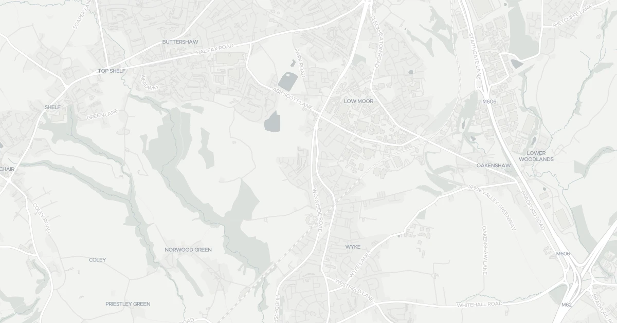
This house is located at 4 Ruffield Side in West Yorkshire (BD12 8DP). It offers around 85 m² of floor space. The property holds an EPC rating of D and dates from 1950–1966. Land Registry records a sale at £21,500 in June 1998. Nearby shops include Tesco Low, Asda Wyke, Morrisons Daily Bradford and Tesco Bradford, the closest about 1.1 km away. The nearest stations are Low Moor Railway Station, Bradford Interchange Railway Station and Bradford Foster Square Railway Station, around 1.2 km away. The Environment Agency records no modelled flood risk at this address.
Last Asking Price
—
Not currently listed
Propbar's Valuation Beta
£XXX
Range £XXX – £XXX
Price position
Price per sq ft
£XXX
Based on 915 ft²
Last Sold
£45,000
Sold December 2016
Market Timeline
—
Not currently listed
Times Listed
—
No history
Last Asking Rent
—
Not currently listed
Propbar's Valuation Beta
£XXX pcm
Range £XXX – £XXX pcm
Rent position
Gross Yield
X.X%
Annual return rate
Last Let
—
No record
Days on Market
—
Not currently listed
Times Listed
—
No history
1 of 12sections reviewed
Crime in BD12 8DP is well above the national average. Safety score 20 out of 100, where higher is safer. Check the breakdown below.
Built 1950–1966.
Freehold confirmed by HM Land Registry. Unlock to reveal owner, charges and restrictions.
Listing history, price moves and time on market for this address.
Sold prices, sales volumes and market pace for BD12 over the last 24 months.
Nothing on record for this property. See what's being applied for and built around it.
Assessed: no modelled flood risk at this address.
What band D means for your bills, rental rules and upgrade headroom.
Pollutant levels, the official index and health context for this address.
Where BD12 8DP sits on the national prosperity ladder, and what drives it.
Admission chances, ratings and catchment status for 40 schools nearby.
5 transport links nearby
We use cookies to provide you with the best experience. By continuing, you agree to our Cookie Policy .