Building
Built 1967–1975.
Mid-Terrace House
This is not a sales listing. Propbar data is compiled for informational purposes.
A fairly typical UK area, close to the national average across housing, work and daily life.
Around averageMore prosperous than 41% of UK neighbourhoods.
Prosperity score
47.6
out of 100
Typical home
£255,000
about the UK average
3-yr price growth
-6.5%
over 3 years
Each part of the local picture, read from your side. Tap any topic for the figures behind it.
Typical home about £255,000, about the same as most of the UK, and prices are down 6.5% over the last 3 years.
Local earnings sit around the UK average, a steady backdrop for demand.
A steady local job market, close to the UK norm, so demand tends to hold up.
Safety, health and connectivity here sit around the UK average.
Vepler Prosperity Index v2026.1 · IMD 2025, ONS Census 2021, HM Land Registry, VOA · Area-level (LSOA E01020032), not this exact home. Updated Jun 2026.
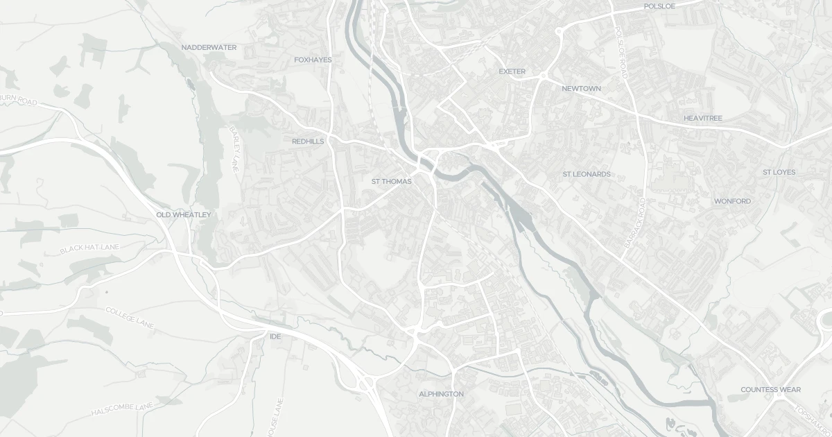
House at 20 Sydney Road in Devon (EX2 9AH). It offers around 74 m² of floor space. The property holds an EPC rating of C and dates from 1967–1975. Land Registry records a sale at £74,950 in April 2001. Nearby shops include Aldi St, Iceland Alphington, M&S Exebridges Exeter SF and Co-op Haven, the closest about 193 m away. The nearest stations are Exeter St Thomas Railway Station, Exeter Central Railway Station and Marsh Barton Railway Station, around 344 m away. Broadband coverage in the area is excellent and mobile coverage is strong. The Environment Agency rates this address at low risk of flooding.
Last Asking Price
—
Not currently listed
Propbar's Valuation Beta
£XXX
Range £XXX – £XXX
Price position
Price per sq ft
£XXX
Based on 797 ft²
Last Sold
£164,000
Sold July 2009
Market Timeline
—
Not currently listed
Times Listed
—
No history
Last Asking Rent
—
Not currently listed
Propbar's Valuation Beta
£XXX pcm
Range £XXX – £XXX pcm
Rent position
Gross Yield
X.X%
Annual return rate
Last Let
—
No record
Days on Market
—
Not currently listed
Times Listed
—
No history
1 of 12sections reviewed
Built 1967–1975.
Freehold confirmed by HM Land Registry. Unlock to reveal owner, charges and restrictions.
Listing history, price moves and time on market for this address.
Sold prices, sales volumes and market pace for EX2 over the last 24 months.
Nothing on record for this property. See what's being applied for and built around it.
Rivers & sea, surface water and the 2080 climate outlook for this address.
What band C means for your bills, rental rules and upgrade headroom.
Safety score for EX2 9AH, the recent trend and offence-by-offence breakdown.
Pollutant levels, the official index and health context for this address.
Where EX2 9AH sits on the national prosperity ladder, and what drives it.
Admission chances, ratings and catchment status for 39 schools nearby.
5 essentials within 15 min walk · 9 transport links nearby
We use cookies to provide you with the best experience. By continuing, you agree to our Cookie Policy .