


Building
Built 1967–1975.
Semi-Detached House
This is not a sales listing. Propbar data is compiled for informational purposes.
HM Land Registry title found
CH••••• · Freehold · Registered 2009
Get official ownership details for this property
Order the official title register from HM Land Registry. Includes the registered owner, mortgages, restrictions, easements and full price-paid history.
Usually ready in 2–5 minutes · One-time payment
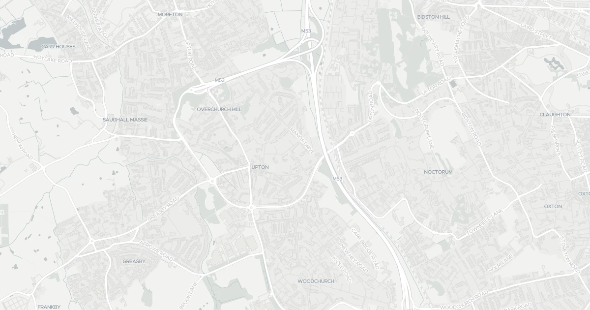
House at 9 The Paddock in Merseyside (CH49 6NP). It offers around 155 m² of floor space. The property holds an EPC rating of D and dates from 1967–1975. Land Registry records a sale at £480,000 in November 2022. Nearby shops include Co-op Birkenhead, Morrisons Daily, Sainsburys Upton and Co-op Hoole, the closest about 491 m away. The nearest stations are Upton Railway Station, Leasowe Railway Station and Bidston Railway Station, around 449 m away. Broadband coverage in the area is excellent and mobile coverage is strong. The Environment Agency records no modelled flood risk at this address.
Last Asking Price
—
Not currently listed
Propbar's Valuation Beta
£XXX
Range £XXX – £XXX
Price position
Price per sq ft
£XXX
Based on 1,668 ft²
Last Sold
£480,000
Sold November 2022
Market Timeline
—
Not currently listed
Times Listed
—
No history
Last Asking Rent
—
Not currently listed
Propbar's Valuation Beta
£XXX pcm
Range £XXX – £XXX pcm
Rent position
Gross Yield
X.X%
Annual return rate
Last Let
—
No record
Days on Market
—
Not currently listed
Times Listed
—
No history
1 of 12sections reviewed
Built 1967–1975.
Freehold confirmed by HM Land Registry. Unlock to reveal owner, charges and restrictions.
Listing history, price moves and time on market for this address.
Sold prices, sales volumes and market pace for CH49 over the last 24 months.
Nothing on record for this property. See what's being applied for and built around it.
Assessed: no modelled flood risk at this address.
What band D means for your bills, rental rules and upgrade headroom.
Safety score for CH49 6NP, the recent trend and offence-by-offence breakdown.
Pollutant levels, the official index and health context for this address.
Where CH49 6NP sits on the national prosperity ladder, and what drives it.
Admission chances, ratings and catchment status for 40 schools nearby.
2 essentials within 15 min walk · 10 transport links nearby
We use cookies to provide you with the best experience. By continuing, you agree to our Cookie Policy .