Building
Built 1967–1975.
Semi-Detached House
This is not a sales listing. Propbar data is compiled for informational purposes.
Schools around this property — tap any school for its rating, distance and catchment.
In catchment
0 schools
of 5 nearby
Best primary
Wigton Nursery and Infant School
Good
Best secondary
–
No data
To university
–
of local leavers
Nearest schools · 5
5 Good
Designated polygons not yet discovered for this LPA
Source: DfE, Ofsted & local-authority admissions. Estimates use last year’s data and are a guide, not a guarantee.
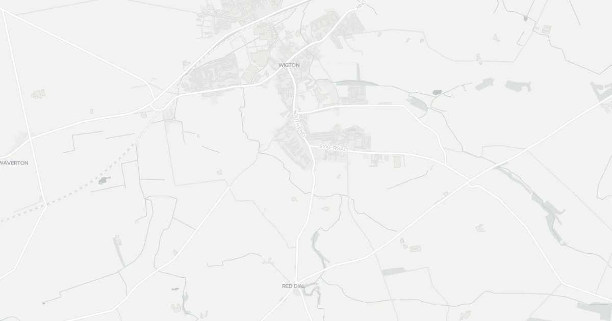
Three-bedroom semidetached at 69 Springfields in Cumbria (CA7 9JT). It offers around 97 m² of floor space. The property holds an EPC rating of D and dates from 1967–1975. Land Registry records a sale at £159,950 in November 2006. Nearby shops include Spar, Lidl Wigton and Co-op Wigton, the closest about 489 m away. The nearest station is Wigton Railway Station, around 1.6 km away. Broadband coverage in the area is excellent and mobile coverage is strong. The Environment Agency records no modelled flood risk at this address.
Last Asking Price
£149,950
Last on market 11 years ago
Propbar's Valuation Beta
£XXX
Range £XXX – £XXX
Price position
Price per sq ft
£XXX
Based on 1,044 ft²
Last Sold
£175,000
Sold September 2020 · -£25,050 (-14%)
Market Timeline
—
Not currently listed
Times Listed
2 listings
Re-listed
Last Asking Rent
—
Not currently listed
Propbar's Valuation Beta
£XXX pcm
Range £XXX – £XXX pcm
Rent position
Gross Yield
X.X%
Annual return rate
Last Let
—
No record
Days on Market
—
Not currently listed
Times Listed
—
No history
1 of 12sections reviewed
Built 1967–1975.
Freehold confirmed by HM Land Registry. Unlock to reveal owner, charges and restrictions.
This property has 1 re-listingon record.
Sold prices, sales volumes and market pace for CA7 over the last 24 months.
Nothing on record for this property. See what's being applied for and built around it.
Assessed: no modelled flood risk at this address.
What band D means for your bills, rental rules and upgrade headroom.
Safety score for CA7 9JT, the recent trend and offence-by-offence breakdown.
Pollutant levels, the official index and health context for this address.
Where CA7 9JT sits on the national prosperity ladder, and what drives it.
Admission chances, ratings and catchment status for 5 schools nearby.
1 essential within 15 min walk · 1 transport link nearby
We use cookies to provide you with the best experience. By continuing, you agree to our Cookie Policy .