Building
Built 1967–1975.
Detached House
This is not a sales listing. Propbar data is compiled for informational purposes.
Applications around this property, plus toggleable planning constraints — LPA boundary, AONB, protected woodlands and scenic landscapes.
No planning applications recorded for this address in the last 5 years.
No planning applications on record for this address in the last 5 years.
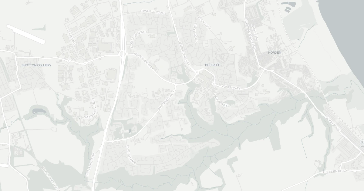
5 nearby planning applications, newest first.
Quiet, settled area — the 5 nearby planning applications are routine home improvements. Nothing major or character-changing is planned within 1km.
Application for Certificate of Lawful Development under Section 191 of the Town and Country Planning Act 1990 to confirm current lawful use of building as an office (Use Class E(c)(ii))
ApprovedDischarge of Condition 3 (extraction details) pursuant to planning permission DM/23/03820/FPA
ApprovedExisting 3 storey flat block at 58-62 Edenhill Road, Peterlee, SR8 5DB
ApprovedReplace existing flat roof with pitched roof
Pending DecisionReplacement of paper and paste advertisement display board with digital advertisement display board
ApprovedMajor schemes can change the outlook from this property. Your conveyancer's search will confirm live applications.
Source: Planning register, via Vepler Planning. This does not replace an official Local Authority Search (LLC1/CON29).
A four-bedroom house at 5 Forth Close in County Durham (SR8 1DG). It offers around 151 m² of floor space. The property holds an EPC rating of D and dates from 1967–1975. Land Registry records a sale at £45,000 in March 1998. Nearby shops include Lidl Peterlee, Farmfoods Peterlee, Iceland Peterlee and Asda Peterlee, the closest about 382 m away. The nearest stations are Horden Peterlee Station and Seaham Railway Station, around 2.3 km away. Broadband coverage in the area is excellent and mobile coverage is strong. The Environment Agency records no modelled flood risk at this address.
Last Asking Price
£150,000
Last on market 16 years ago
Propbar's Valuation Beta
£XXX
Range £XXX – £XXX
Price position
Price per sq ft
£XXX
Based on 1,625 ft²
Last Sold
£130,000
Sold March 2010 · +£20,000 (+15%)
Market Timeline
—
Not currently listed
Times Listed
1 listing
First listing
Last Asking Rent
—
Not currently listed
Propbar's Valuation Beta
£XXX pcm
Range £XXX – £XXX pcm
Rent position
Gross Yield
X.X%
Annual return rate
Last Let
—
No record
Days on Market
—
Not currently listed
Times Listed
—
No history
1 of 12sections reviewed
Built 1967–1975.
Freehold confirmed by HM Land Registry. Unlock to reveal owner, charges and restrictions.
Listing history, price moves and time on market for this address.
Sold prices, sales volumes and market pace for SR8 over the last 24 months.
Nothing on record for this property. See what's being applied for and built around it.
Assessed: no modelled flood risk at this address.
What band D means for your bills, rental rules and upgrade headroom.
Crime in SR8 1DG is above the national average. Safety score 24 out of 100, where higher is safer. Check the breakdown below.
Pollutant levels, the official index and health context for this address.
Where SR8 1DG sits on the national prosperity ladder, and what drives it.
Admission chances, ratings and catchment status for 32 schools nearby.
5 essentials within 15 min walk · 2 transport links nearby
We use cookies to provide you with the best experience. By continuing, you agree to our Cookie Policy .