Local Access
1 transport link nearby
Poor
This is not a sales listing. Propbar data is compiled for informational purposes.
At 78 out of 100, IP23 7HU has low crime, above the England and Wales average of 59 (higher is safer). It has held steady over the last 12 months. The most reported crime here is violence and sexual offences.
Safety score
78 / 100
Low crime
National average
59 / 100
19 points safer
Most common
Violence and sexual offences
49 last month
Recent trend
Stable
Little change
This map shows where the police have recorded crime near the property. Open it to filter by crime type and time period.
The safety score tracks recorded crime month by month against the regional and national average, where higher is safer. In IP23 7HU it has held around 78 out of 100 over the last 12 months, so crime levels have stayed roughly the same.
Sign in to see how crime here has changed over time.
These are the crimes the police recorded in IP23 7HU last month, by type. Violence and sexual offences was the most common, with 49 of 110 reports. This counts reported crime only, so the real figure may be higher.
Sign in to see crime here broken down by type.
This compares IP23 7HU with the average for England and Wales, crime type by type. A green shield means that type is less common here than average; red means more common. Overall IP23 7HU scores 78 against 59, 19 points safer than the national average.
Crimes recorded per 1,000 people, last month. Green is safer, red is higher than average.
| Crime type | IP23 7HU | |
|---|---|---|
| Violence and sexual offences | 22 | |
| Anti-social behaviour | 6 | |
| Criminal damage and arson | 5 | |
| Public order | 5 | |
| Other theft | 3 | |
| Burglary | 2 | |
| Vehicle crime | 1 | |
| Bicycle theft | 1 | |
| Drugs | 1 | |
| Other crime | 1 | |
| Possession of weapons | 1 | |
| Shoplifting | 1 | |
| Theft from the person | 0 | |
| Robbery | 0 | |
| Violent crime | 0 |
Source: Police.UK · ONS population data. Check on data.police.uk
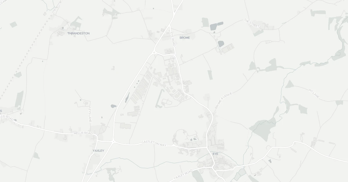
Industrial at Wrightform in Suffolk (IP23 7HU). Nearby shops include East of England Co-operative Co, Co-op Eye, M&S Scole BP and Tesco Diss, the closest about 1.7 km away. The nearest station is Diss Railway Station, around 4.5 km away. The Environment Agency records no modelled flood risk at this address.
Last Asking Price
—
Not currently listed
Propbar's Valuation Beta
£XXX
Range £XXX – £XXX
Price position
Price per sq ft
£XXX
Floor area required
Last Sold
—
No record
Market Timeline
—
Not currently listed
Times Listed
—
No history
Last Asking Rent
—
Not currently listed
Propbar's Valuation Beta
£XXX pcm
Range £XXX – £XXX pcm
Rent position
Gross Yield
X.X%
Annual return rate
Last Let
—
No record
Days on Market
—
Not currently listed
Times Listed
—
No history
1 of 12sections reviewed
1 transport link nearby
Building details available below.
We don't hold an HM Land Registry title on record for this address. This is common for leasehold flats, new builds and unregistered land.
No market history recorded for this property.
Sold prices, sales volumes and market pace for IP23 over the last 24 months.
Nothing on record for this property. See what's being applied for and built around it.
Assessed: no modelled flood risk at this address.
No Energy Performance Certificate data is on file for this property.
Safety score for IP23 7HU, the recent trend and offence-by-offence breakdown.
Pollutant levels, the official index and health context for this address.
Where IP23 7HU sits on the national prosperity ladder, and what drives it.
Admission chances, ratings and catchment status for 7 schools nearby.
We use cookies to provide you with the best experience. By continuing, you agree to our Cookie Policy .