Building
Built 1976–1982.
Multiple Residential Accommodation
This is not a sales listing. Propbar data is compiled for informational purposes.
At 87 out of 100, IP13 9HP has very low crime, above the England and Wales average of 59 (higher is safer). The score has risen over the last 12 months, so the area is getting safer. The most reported crime here is violence and sexual offences.
Safety score
87 / 100
Very low crime
National average
59 / 100
28 points safer
Most common
Violence and sexual offences
31 last month
Recent trend
Improving
Area getting safer
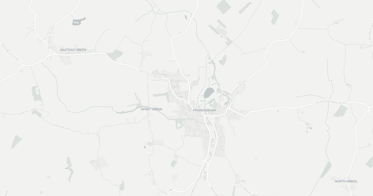
This map shows where the police have recorded crime near the property. Open it to filter by crime type and time period.
The safety score tracks recorded crime month by month against the regional and national average, where higher is safer. In IP13 9HP it has climbed from 80 to 87 out of 100 over the last 12 months, so less crime is being recorded and the area is getting safer.
Sign in to see how crime here has changed over time.
These are the crimes the police recorded in IP13 9HP last month, by type. Violence and sexual offences was the most common, with 31 of 60 reports. This counts reported crime only, so the real figure may be higher.
Sign in to see crime here broken down by type.
This compares IP13 9HP with the average for England and Wales, crime type by type. A green shield means that type is less common here than average; red means more common. Overall IP13 9HP scores 87 against 59, 28 points safer than the national average.
Crimes recorded per 1,000 people, last month. Green is safer, red is higher than average.
| Crime type | IP13 9HP | |
|---|---|---|
| Violence and sexual offences | 14 | |
| Criminal damage and arson | 4 | |
| Anti-social behaviour | 1 | |
| Burglary | 1 | |
| Other theft | 1 | |
| Possession of weapons | 1 | |
| Vehicle crime | 1 | |
| Drugs | 1 | |
| Public order | 1 | |
| Other crime | 0 | |
| Bicycle theft | 0 | |
| Robbery | 0 | |
| Shoplifting | 0 | |
| Theft from the person | 0 | |
| Violent crime | 0 |
Source: Police.UK · ONS population data. Check on data.police.uk
Flat at 85 Danforth Close in Suffolk (IP13 9HP). It offers around 59 m² of floor space. The property holds an EPC rating of C and dates from 1976–1982. Nearby shops include East of England Co-operative Co, Morrisons Daily Wickham and Co-op Laxfield, the closest about 490 m away. The nearest stations are Entrance and Wickham Market Railway Station, around 9.2 km away. Broadband coverage in the area is good and mobile coverage is strong. The Environment Agency records no modelled flood risk at this address.
Last Asking Price
—
Not currently listed
Propbar's Valuation Beta
£XXX
Range £XXX – £XXX
Price position
Price per sq ft
£XXX
Based on 635 ft²
Last Sold
—
No record
Market Timeline
—
Not currently listed
Times Listed
—
No history
Last Asking Rent
—
Not currently listed
Propbar's Valuation Beta
£XXX pcm
Range £XXX – £XXX pcm
Rent position
Gross Yield
X.X%
Annual return rate
Last Let
—
No record
Days on Market
—
Not currently listed
Times Listed
—
No history
1 of 12sections reviewed
Built 1976–1982.
Freehold confirmed by HM Land Registry. Unlock to reveal owner, charges and restrictions.
No market history recorded for this property.
Sold prices, sales volumes and market pace for IP13 over the last 24 months.
Nothing on record for this property. See what's being applied for and built around it.
Assessed: no modelled flood risk at this address.
What band C means for your bills, rental rules and upgrade headroom.
Safety score for IP13 9HP, the recent trend and offence-by-offence breakdown.
Pollutant levels, the official index and health context for this address.
Where IP13 9HP sits on the national prosperity ladder, and what drives it.
Admission chances, ratings and catchment status for 5 schools nearby.
1 essential within 15 min walk · 2 transport links nearby
We use cookies to provide you with the best experience. By continuing, you agree to our Cookie Policy .