Crime & Safety
Crime in NR32 2LL is well above the national average. Safety score 1 out of 100, where higher is safer. Check the breakdown below.
Very high crime
This is not a sales listing. Propbar data is compiled for informational purposes.
Walkability
46 / 100
Somewhat walkable
Transit
52 / 100
Some transit
Closest essential
Iceland Lowestoft
4 min walk
Closest transport
Lowestoft Railway Station
6 min walk
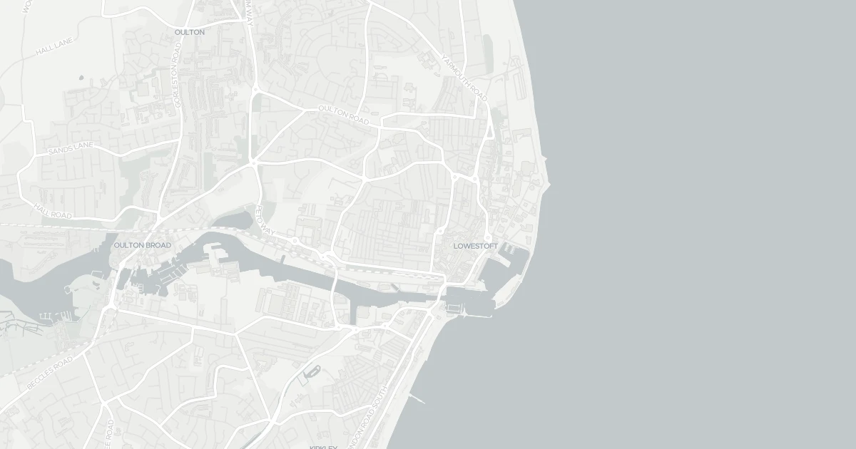
See nearby essentials and transport links overlaid on the property's location.
3 essentials within a 15-min walk. Closest nearby: 5 grocers.
Frozen specialist · Frozen & convenience foods, budget pricing · 0.28 km
Supermarket · Format varies by store — check before a big shop · 0.34 km
Independent grocer · Local independent, top-up shop & specialty items · 0.39 km
Supermarket · Big weekly shop, low prices, larger formats common · 0.90 km
Frozen specialist · Frozen & convenience foods, budget pricing · 0.91 km
5 rail stations nearby. Check direct routes & frequency for your journeys.
Railway station · National Rail — check destinations & direct services · 0.43 km
Railway station · National Rail — check destinations & direct services · 0.43 km
Railway station · National Rail — check destinations & direct services · 2.22 km
Railway station · National Rail — check destinations & direct services · 2.23 km
Railway station · National Rail — check destinations & direct services · 2.93 km
Scores blend proximity and density of nearby essentials and transport links. Closer, with more options, scores higher.
House at 7 Camp Road in Suffolk (NR32 2LL). It offers around 63 m² of floor space. The property holds an EPC rating of C and dates from 2012–2021. Nearby shops include Iceland Lowestoft, Tesco Lowestoft, M&S Lowestoft and Asda Lowestoft, the closest about 285 m away. The nearest stations are Lowestoft Railway Station, Entrance and Oulton Broad North Railway Station, around 430 m away. Broadband coverage in the area is excellent and mobile coverage is strong. The Environment Agency records no modelled flood risk at this address.
Last Asking Price
—
Not currently listed
Propbar's Valuation Beta
£XXX
Range £XXX – £XXX
Price position
Price per sq ft
£XXX
Based on 678 ft²
Last Sold
—
No record
Market Timeline
—
Not currently listed
Times Listed
—
No history
Last Asking Rent
—
Not currently listed
Propbar's Valuation Beta
£XXX pcm
Range £XXX – £XXX pcm
Rent position
Gross Yield
X.X%
Annual return rate
Last Let
—
No record
Days on Market
—
Not currently listed
Times Listed
—
No history
1 of 12sections reviewed
Crime in NR32 2LL is well above the national average. Safety score 1 out of 100, where higher is safer. Check the breakdown below.
Built 2012–2021.
Freehold confirmed by HM Land Registry. Unlock to reveal owner, charges and restrictions.
No market history recorded for this property.
Sold prices, sales volumes and market pace for NR32 over the last 24 months.
Nothing on record for this property. See what's being applied for and built around it.
Assessed: no modelled flood risk at this address.
What band C means for your bills, rental rules and upgrade headroom.
Pollutant levels, the official index and health context for this address.
Where NR32 2LL sits on the national prosperity ladder, and what drives it.
Admission chances, ratings and catchment status for 28 schools nearby.
3 essentials within 15 min walk · 5 transport links nearby
We use cookies to provide you with the best experience. By continuing, you agree to our Cookie Policy .