Building
Building details available below.
End-Of-Terrace House
This is not a sales listing. Propbar data is compiled for informational purposes.
Rivers & sea
Low
Depth not modelled
Surface water
Not modelled
No surface-water risk modelled here
Climate 2080
Stable
Low projected for 2080
Flood defences
4 nearby
Nearest 13m away
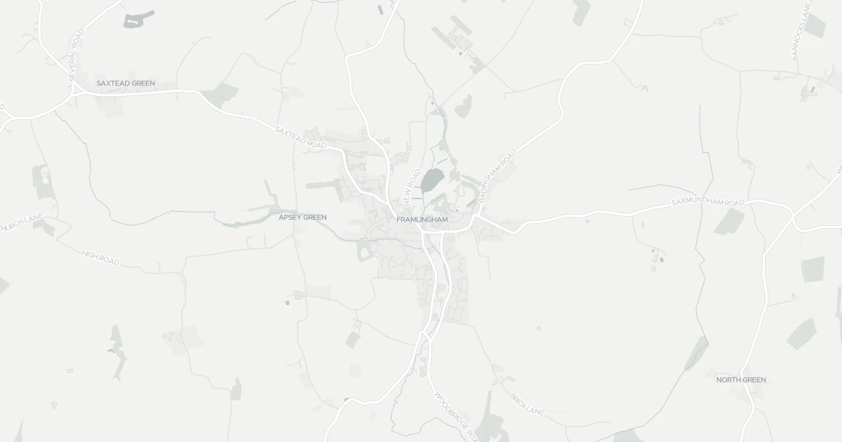
Use the interactive map to see how flood layers sit relative to the property.
Both modelled flood sources for this property are low or very low. No action expected.
About a 1-in-1,000 chance each year.
No modelled surface-water (heavy-rain) flood risk at this address.
This property sits in Flood Zone 2 — a medium-probability planning zone. Developing or extending here normally needs a Flood Risk Assessment.
A medium-probability planning zone. A site-specific FRA is required, and the sequential test must show no suitable site in Zone 1.
Flood defences sit nearby. They reduce but never remove flood risk, and may not protect this specific property.
Flood defences sit nearby. They reduce but never remove flood risk, and may not protect this specific property.
On River Ore, maintained by Private individual, Company or Charity.
Climate models project flood risk here will stay broadly stable through 2080.
Flood risk here is projected to stay broadly stable through the 2080s under current climate models.
At this flood-risk level, standard home insurance typically covers flooding without difficulty.
At this flood-risk level, standard home insurance typically covers flooding without difficulty.
A government-backed scheme that helps keep flood insurance affordable for eligible homes built before 2009.
General guidance based on the modelled flood-risk level — not an insurance quote or advice.
Source: Environment Agency · National Flood Risk Assessment (NaFRA 2), via Vepler Flood . Check on GOV.UK
This terraced house is located at 4 Riverside in Suffolk (IP13 9AG). Nearby shops include East of England Co-operative Co, Morrisons Daily Wickham and Co-op Laxfield, the closest about 87 m away. The nearest stations are Entrance and Wickham Market Railway Station, around 8.8 km away. The Environment Agency rates this address at low risk of flooding.
Last Asking Price
—
Not currently listed
Propbar's Valuation Beta
£XXX
Range £XXX – £XXX
Price position
Price per sq ft
£XXX
Floor area required
Last Sold
—
No record
Market Timeline
—
Not currently listed
Times Listed
—
No history
Last Asking Rent
—
Not currently listed
Propbar's Valuation Beta
£XXX pcm
Range £XXX – £XXX pcm
Rent position
Gross Yield
X.X%
Annual return rate
Last Let
—
No record
Days on Market
—
Not currently listed
Times Listed
—
No history
1 of 12sections reviewed
Building details available below.
We don't hold an HM Land Registry title on record for this address. This is common for leasehold flats, new builds and unregistered land.
No market history recorded for this property.
Sold prices, sales volumes and market pace for IP13 over the last 24 months.
Nothing on record for this property. See what's being applied for and built around it.
Rivers & sea, surface water and the 2080 climate outlook for this address.
No Energy Performance Certificate data is on file for this property.
Safety score for IP13 9AG, the recent trend and offence-by-offence breakdown.
Pollutant levels, the official index and health context for this address.
Where IP13 9AG sits on the national prosperity ladder, and what drives it.
Admission chances, ratings and catchment status for 4 schools nearby.
2 essentials within 15 min walk · 2 transport links nearby
We use cookies to provide you with the best experience. By continuing, you agree to our Cookie Policy .