Building
Built 1976–1982.
Detached House
This is not a sales listing. Propbar data is compiled for informational purposes.
Bungalow
Detached House · Built 1976–1982
How this section works
The basics below come free from publicly available information. Facts marked with a lock come from Ordnance Survey's National Geographic Database. They come with Propbar Plus.
Unlock all 10 building details with Plus
construction material, basement presence, exact year built and 7 more
Already a member?
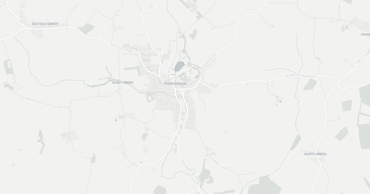
This bungalow is located at 2 The Knoll in Suffolk (IP13 9DH). It offers around 98 m² of floor space. The property holds an EPC rating of D and dates from 1976–1982. Land Registry records a sale at £271,000 in July 2018. Nearby shops include East of England Co-operative Co, Morrisons Daily Wickham and Co-op Laxfield, the closest about 249 m away. The nearest stations are Entrance, Wickham Market Railway Station and Entrance2, around 8.5 km away. Broadband coverage in the area is good and mobile coverage is strong. The Environment Agency records no modelled flood risk at this address.
Last Asking Price
—
Not currently listed
Propbar's Valuation Beta
£XXX
Range £XXX – £XXX
Price position
Price per sq ft
£XXX
Based on 1,055 ft²
Last Sold
£271,000
Sold July 2018
Market Timeline
—
Not currently listed
Times Listed
—
No history
Last Asking Rent
—
Not currently listed
Propbar's Valuation Beta
£XXX pcm
Range £XXX – £XXX pcm
Rent position
Gross Yield
X.X%
Annual return rate
Last Let
—
No record
Days on Market
—
Not currently listed
Times Listed
—
No history
1 of 12sections reviewed
Built 1976–1982.
Freehold confirmed by HM Land Registry. Unlock to reveal owner, charges and restrictions.
Listing history, price moves and time on market for this address.
Sold prices, sales volumes and market pace for IP13 over the last 24 months.
Nothing on record for this property. See what's being applied for and built around it.
Assessed: no modelled flood risk at this address.
What band D means for your bills, rental rules and upgrade headroom.
Safety score for IP13 9DH, the recent trend and offence-by-offence breakdown.
Pollutant levels, the official index and health context for this address.
Where IP13 9DH sits on the national prosperity ladder, and what drives it.
Admission chances, ratings and catchment status for 5 schools nearby.
2 essentials within 15 min walk · 4 transport links nearby
We use cookies to provide you with the best experience. By continuing, you agree to our Cookie Policy .