Building
Built 1976–1982.
Flat
This is not a sales listing. Propbar data is compiled for informational purposes.
A fairly typical UK area, close to the national average across housing, work and daily life.
Bottom 20%More prosperous than 4% of UK neighbourhoods.
Prosperity score
18.9
out of 100
Typical home
£152,500
cheaper than the UK
3-yr price growth
-1.6%
over 3 years
Each part of the local picture, read from your side. Tap any topic for the figures behind it.
Typical home about £152,500, cheaper than most of the UK, and prices are down 1.6% over the last 3 years.
Local pay runs below the UK average. That can mean less competition for homes now, and gentler price growth later.
Fewer people here are in work than across the UK, which can weigh on local demand.
Safety, health or broadband here lag the UK average, worth a closer look.
Vepler Prosperity Index v2026.1 · IMD 2025, ONS Census 2021, HM Land Registry, VOA · Area-level (LSOA E01026827), not this exact home. Updated Jun 2026.
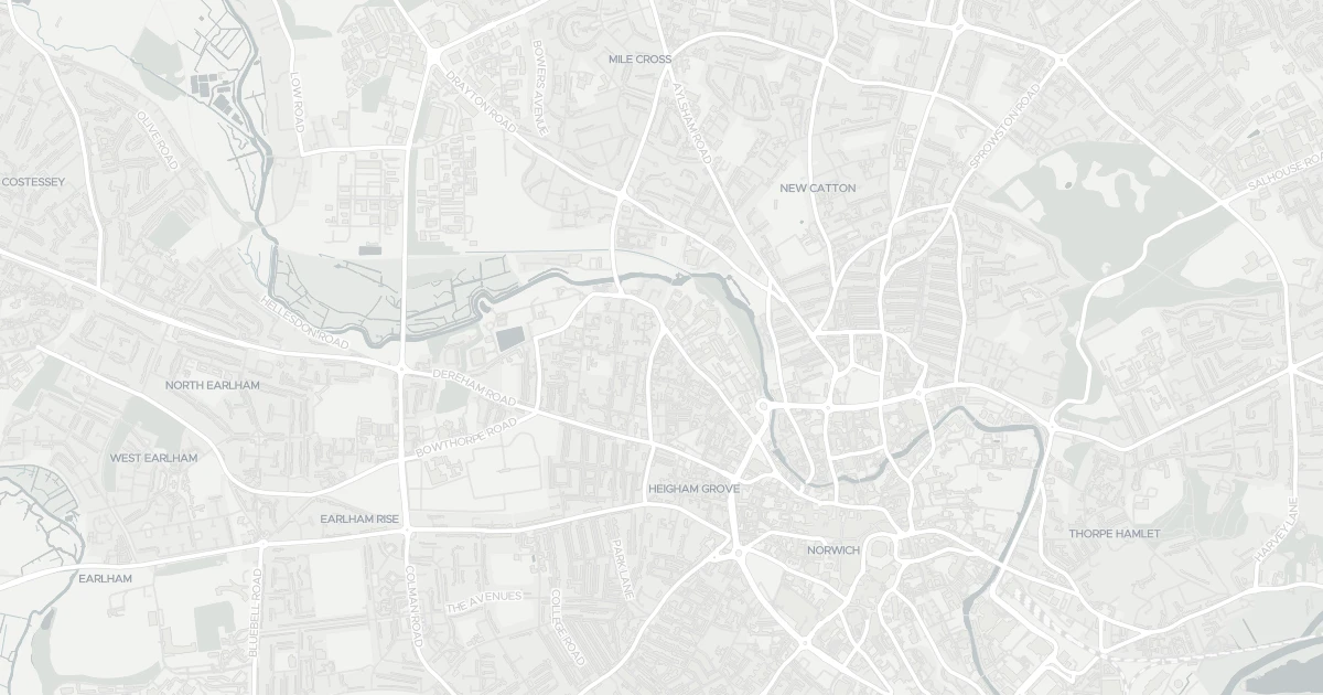
A flat at 33 Freeman Square in Norfolk (NR2 4LB). It offers around 56 m² of floor space. The property holds an EPC rating of C, dates from 1976–1982 and is leasehold. Land Registry records a sale at £50,000 in August 2004. Nearby shops include Tesco Norwich, Aldi Drayton, East of England Co-operative Co and Spar - St Augustine's, the closest about 470 m away. The nearest stations are Norwich Railway Station, Salhouse Railway Station and Brundall Gardens Railway Station, around 2.2 km away. Broadband coverage in the area is excellent and mobile coverage is strong. The Environment Agency rates this address at low risk of flooding.
Last Asking Price
—
Not currently listed
Propbar's Valuation Beta
£XXX
Range £XXX – £XXX
Price position
Price per sq ft
£XXX
Based on 603 ft²
Last Sold
£50,000
Sold August 2004
Market Timeline
—
Not currently listed
Times Listed
—
No history
Last Asking Rent
—
Not currently listed
Propbar's Valuation Beta
£XXX pcm
Range £XXX – £XXX pcm
Rent position
Gross Yield
X.X%
Annual return rate
Last Let
—
No record
Days on Market
—
Not currently listed
Times Listed
—
No history
1 of 12sections reviewed
Built 1976–1982.
Leasehold confirmed by HM Land Registry. Unlock to reveal owner, charges and restrictions.
Listing history, price moves and time on market for this address.
Sold prices, sales volumes and market pace for NR2 over the last 24 months.
Nothing on record for this property. See what's being applied for and built around it.
Rivers & sea, surface water and the 2080 climate outlook for this address.
What band C means for your bills, rental rules and upgrade headroom.
Safety score for NR2 4LB, the recent trend and offence-by-offence breakdown.
Pollutant levels, the official index and health context for this address.
Where NR2 4LB sits on the national prosperity ladder, and what drives it.
Admission chances, ratings and catchment status for 39 schools nearby.
4 essentials within 15 min walk · 4 transport links nearby
We use cookies to provide you with the best experience. By continuing, you agree to our Cookie Policy .