Building
Built 1976–1982.
Bungalow
This is not a sales listing. Propbar data is compiled for informational purposes.
Rivers & sea
Low
Knee deep — wading difficult
Surface water
Low
Low hazard rating
Climate 2080
Rising
Medium projected for 2080
Flood defences
19 nearby
Nearest 73m away
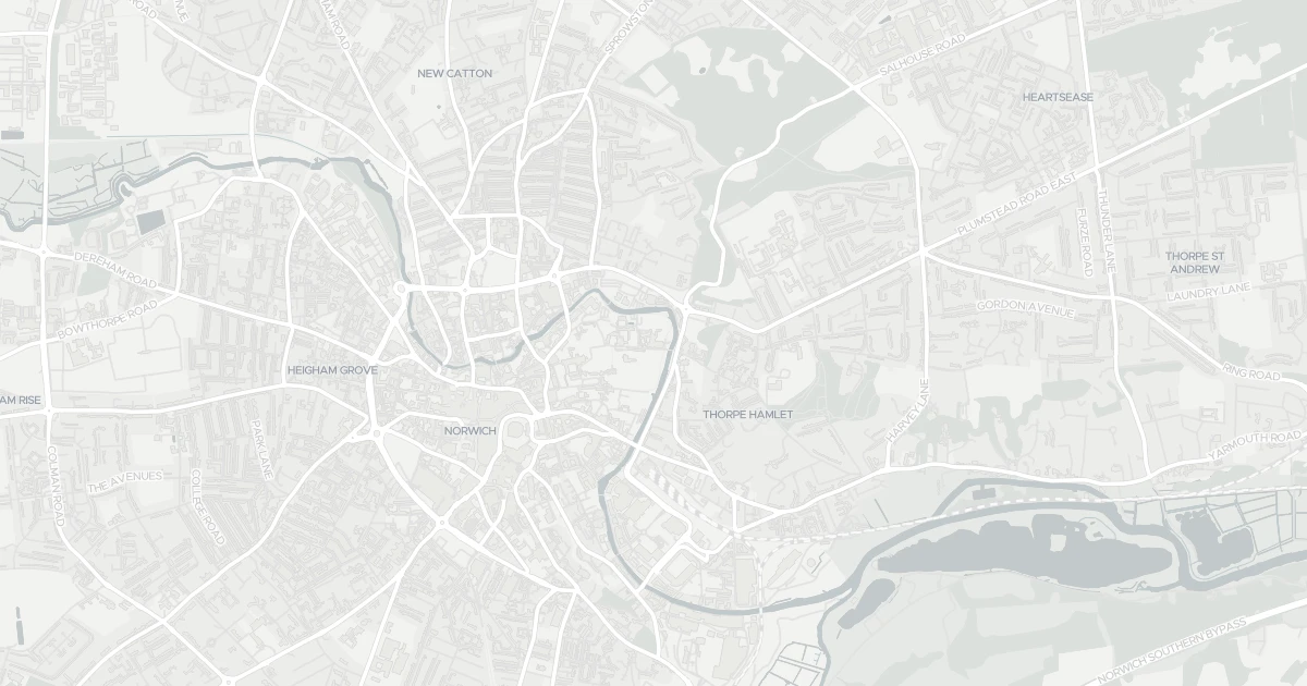
Use the interactive map to see how flood layers sit relative to the property.
Both modelled flood sources for this property are low or very low. No action expected.
About a 1-in-1,000 chance each year. Modelled depth up to 0.3m — knee deep — wading difficult.
Heavy rain may cause minor pooling in low-lying areas. Flows up to 0 m/s. Low hazard rating.
This property sits in Flood Zone 2 — a medium-probability planning zone. Developing or extending here normally needs a Flood Risk Assessment.
A medium-probability planning zone. A site-specific FRA is required, and the sequential test must show no suitable site in Zone 1.
Flood defences sit nearby. They reduce but never remove flood risk, and may not protect this specific property.
Flood defences sit nearby. They reduce but never remove flood risk, and may not protect this specific property.
On River Wensum, maintained by Environment Agency, good condition.
Flood risk here is projected to rise to medium by 2080 under current climate models.
Flood risk here is projected to rise to medium by the 2080s under current climate models.
At this flood-risk level, standard home insurance typically covers flooding without difficulty.
At this flood-risk level, standard home insurance typically covers flooding without difficulty.
A government-backed scheme that helps keep flood insurance affordable for eligible homes built before 2009.
General guidance based on the modelled flood-risk level — not an insurance quote or advice.
Source: Environment Agency · National Flood Risk Assessment (NaFRA 2), via Vepler Flood . Check on GOV.UK
This bungalow is located at 121 Cotman Fields in Norfolk (NR1 4EP). It offers around 81 m² of floor space. The property holds an EPC rating of C and dates from 1976–1982. Nearby shops include Tesco Norwich, East of England Co-operative Co, Iceland Norwich and Tesco London, the closest about 557 m away. The nearest stations are Norwich Railway Station, Salhouse Railway Station and Brundall Gardens Railway Station, around 625 m away. The Environment Agency rates this address at low risk of flooding.
Last Asking Price
—
Not currently listed
Propbar's Valuation Beta
£XXX
Range £XXX – £XXX
Price position
Price per sq ft
£XXX
Based on 872 ft²
Last Sold
—
No record
Market Timeline
—
Not currently listed
Times Listed
—
No history
Last Asking Rent
—
Not currently listed
Propbar's Valuation Beta
£XXX pcm
Range £XXX – £XXX pcm
Rent position
Gross Yield
X.X%
Annual return rate
Last Let
—
No record
Days on Market
—
Not currently listed
Times Listed
—
No history
1 of 12sections reviewed
Built 1976–1982.
Leasehold confirmed by HM Land Registry. Unlock to reveal owner, charges and restrictions.
No market history recorded for this property.
Sold prices, sales volumes and market pace for NR1 over the last 24 months.
Nothing on record for this property. See what's being applied for and built around it.
Rivers & sea, surface water and the 2080 climate outlook for this address.
What band C means for your bills, rental rules and upgrade headroom.
Crime in NR1 4EP is above the national average. Safety score 36 out of 100, where higher is safer. Check the breakdown below.
This address sits inside a council-declared air quality zone. What that means for living here is below.
Where NR1 4EP sits on the national prosperity ladder, and what drives it.
Admission chances, ratings and catchment status for 39 schools nearby.
4 essentials within 15 min walk · 5 transport links nearby
We use cookies to provide you with the best experience. By continuing, you agree to our Cookie Policy .