Building
Building details available below.
Flat
This is not a sales listing. Propbar data is compiled for informational purposes.
Rivers & sea
Low
Above head height — life-threatening
Surface water
Not modelled
No surface-water risk modelled here
Climate 2080
Rising
High projected for 2080
Flood defences
6 nearby
Nearest 111m away
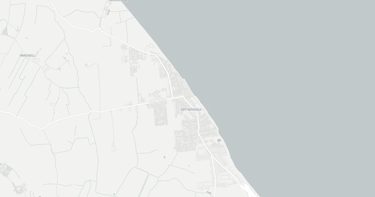
Use the interactive map to see how flood layers sit relative to the property.
Both modelled flood sources for this property are low or very low. No action expected.
About a 1-in-1,000 chance each year. Modelled depth up to 1.2m — above head height — life-threatening.
No modelled surface-water (heavy-rain) flood risk at this address.
This property sits in Flood Zone 3 — the highest-probability planning zone. Developing or extending here normally needs a Flood Risk Assessment and must pass the planning sequential test.
A high-probability planning zone. FRA and sequential test required, and an exception test may apply for more-vulnerable uses.
Flood defences sit nearby. They reduce but never remove flood risk, and may not protect this specific property.
Flood defences sit nearby. They reduce but never remove flood risk, and may not protect this specific property.
maintained by Local Authority.
Flood risk here is projected to rise to high by 2080 under current climate models.
Flood risk here is projected to rise to high by the 2080s under current climate models.
At this flood-risk level, standard home insurance typically covers flooding without difficulty.
At this flood-risk level, standard home insurance typically covers flooding without difficulty.
A government-backed scheme that helps keep flood insurance affordable for eligible homes built before 2009.
General guidance based on the modelled flood-risk level — not an insurance quote or advice.
Source: Environment Agency · National Flood Risk Assessment (NaFRA 2), via Vepler Flood . Check on GOV.UK
A one-bedroom flat at 4A Seaside Road, HU19 2DL. It offers around 61 m² of floor space. The property holds an EPC rating of E. Nearby shops include Heron Withernsea, Aldi Withernsea, Tesco Withernsea and Spar Market, the closest about 59 m away. The Environment Agency rates this address at low risk of flooding.
Last Asking Price
—
Not currently listed
Propbar's Valuation Beta
£XXX
Range £XXX – £XXX
Price position
Price per sq ft
£XXX
Based on 657 ft²
Last Sold
—
No record
Market Timeline
—
Not currently listed
Times Listed
—
No history
Last Asking Rent
£400 pcm
£4,800 per year · Last on market 14 years ago
Propbar's Valuation Beta
£XXX pcm
Range £XXX – £XXX pcm
Rent position
Gross Yield
X.X%
Annual return rate
Last Let
£400 pcm
Listed September 2012
Days on Market
—
Not currently listed
Times Listed
1 listing
First listing
1 of 12sections reviewed
Building details available below.
We don't hold an HM Land Registry title on record for this address. This is common for leasehold flats, new builds and unregistered land.
Listing history, price moves and time on market for this address.
Sold prices, sales volumes and market pace for HU19 over the last 24 months.
Nothing on record for this property. See what's being applied for and built around it.
Rivers & sea, surface water and the 2080 climate outlook for this address.
Meets the minimum EPC E required to let the property today.
Crime in HU19 2DL is above the national average. Safety score 36 out of 100, where higher is safer. Check the breakdown below.
Pollutant levels, the official index and health context for this address.
Where HU19 2DL sits on the national prosperity ladder, and what drives it.
Admission chances, ratings and catchment status for 3 schools nearby.
3 essentials within 15 min walk
We use cookies to provide you with the best experience. By continuing, you agree to our Cookie Policy .