Building
Building details available below.
Flat
This is not a sales listing. Propbar data is compiled for informational purposes.
Average sold price
£174,385
Last 24 months
Homes sold
638
Last 24 months
Median asking price
£170,000
On the market now
Homes for sale
741
On the market now
Completed sales recorded by HM Land Registry. The most recent months are still being registered, so the faded bars read low at first.
Where sellers are pitching prices over time. The direction of travel matters more than any single month.
Sold subject to contract
30% of listings
Back on the market
7% of listings
Typical asking rent in NE34: £750 pcm.
These describe homes for sale today in NE34. Useful for judging your negotiating position.
Sold prices: HM Land Registry (England & Wales), typically 1–3 months behind completion. Listings data reflects major property portals.
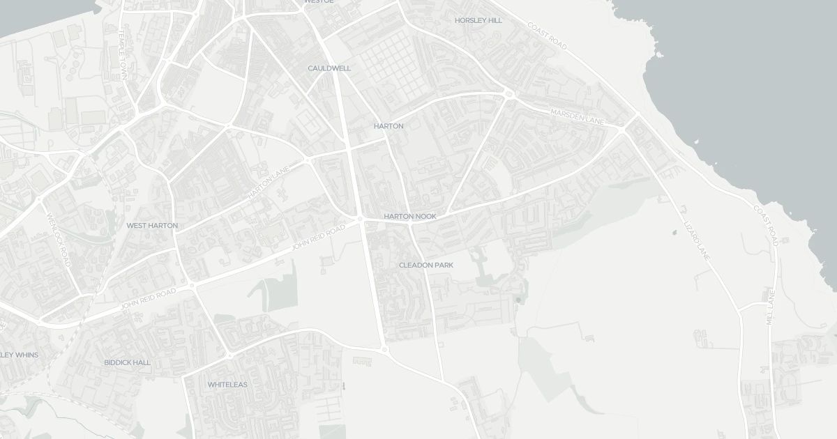
This flat is located at 267 PRINCE EDWARD ROAD, NE34 7LZ. The property holds an EPC rating of C. Nearby shops include Iceland Marsden, Farmfoods Marsden, Sainsburys South and Heron Marsden, the closest about 36 m away. The nearest stations are Tyne Dock, Chichester and Simonside, around 2.1 km away. The Environment Agency rates this address at low risk of flooding.
Last Asking Price
—
Not currently listed
Propbar's Valuation Beta
£XXX
Range £XXX – £XXX
Price position
Price per sq ft
£XXX
Floor area required
Last Sold
—
No record
Market Timeline
—
Not currently listed
Times Listed
—
No history
Last Asking Rent
—
Not currently listed
Propbar's Valuation Beta
£XXX pcm
Range £XXX – £XXX pcm
Rent position
Gross Yield
X.X%
Annual return rate
Last Let
—
No record
Days on Market
—
Not currently listed
Times Listed
—
No history
1 of 12sections reviewed
Building details available below.
We don't hold an HM Land Registry title on record for this address. This is common for leasehold flats, new builds and unregistered land.
No market history recorded for this property.
Sold prices, sales volumes and market pace for NE34 over the last 24 months.
Nothing on record for this property. See what's being applied for and built around it.
Rivers & sea, surface water and the 2080 climate outlook for this address.
What band C means for your bills, rental rules and upgrade headroom.
Safety score for NE34 7LZ, the recent trend and offence-by-offence breakdown.
Pollutant levels, the official index and health context for this address.
Where NE34 7LZ sits on the national prosperity ladder, and what drives it.
Admission chances, ratings and catchment status for 40 schools nearby.
5 essentials within 15 min walk · 13 transport links nearby
We use cookies to provide you with the best experience. By continuing, you agree to our Cookie Policy .