Flood Risk
High chance of flooding. Greater than 1 in 30 annual chance.
High
This is not a sales listing. Propbar data is compiled for informational purposes.
Rivers & sea
Not modelled
No rivers or sea risk modelled here
Surface water
High
Extreme hazard rating
Climate 2080
Not projected
No 2080 projection available
Flood defences
3 nearby
Nearest 945m away
Open the interactive map to see exactly which flood layers cover this property.
At least one flood source carries a high risk. Review the rows below carefully.
No modelled flood risk from rivers or the sea at this address.
Heavy rain may cause significant flooding. Flows up to 2 m/s. Extreme hazard rating.
This property sits in Flood Zone 1 — the lowest-probability planning zone. No flood-specific planning checks normally apply.
The lowest-probability planning flood zone — under a 0.1% river / 0.5% sea chance each year. A full FRA is usually only needed for large sites or where the council flags a local concern.
Flood defences sit nearby. They reduce but never remove flood risk, and may not protect this specific property. A residual flood risk remains at this property.
Flood defences sit nearby. They reduce but never remove flood risk, and may not protect this specific property. A residual flood risk remains at this property.
On River Wensum, maintained by Environment Agency, fair condition.
At a high flood risk, home insurance can cost more or need a specialist insurer. The Flood Re scheme can help keep premiums affordable for eligible homes built before 2009.
At a high flood risk, home insurance can cost more or need a specialist insurer. Flood Re can help keep premiums affordable for eligible homes.
A government-backed scheme that helps keep flood insurance affordable for eligible homes built before 2009.
General guidance based on the modelled flood-risk level — not an insurance quote or advice.
Source: Environment Agency · National Flood Risk Assessment (NaFRA 2), via Vepler Flood . Check on GOV.UK
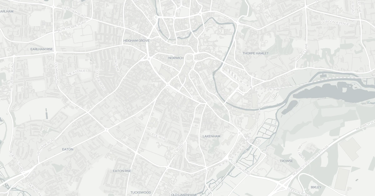
This flat is located at Living Accommodation, NR1 3PN. The property holds an EPC rating of C. Land Registry records a sale at £415,000 in February 2021. Nearby shops include Sainsburys Queens, Tesco Norwich, Iceland Norwich 3 and East of England Co-operative Co, the closest about 178 m away. The nearest stations are Norwich Railway Station, Brundall Gardens Railway Station and Salhouse Railway Station, around 940 m away. The Environment Agency rates this address at high risk of flooding.
Last Asking Price
—
Not currently listed
Propbar's Valuation Beta
£XXX
Range £XXX – £XXX
Price position
Price per sq ft
£XXX
Floor area required
Last Sold
£415,000
Sold February 2021
Market Timeline
—
Not currently listed
Times Listed
—
No history
Last Asking Rent
—
Not currently listed
Propbar's Valuation Beta
£XXX pcm
Range £XXX – £XXX pcm
Rent position
Gross Yield
X.X%
Annual return rate
Last Let
—
No record
Days on Market
—
Not currently listed
Times Listed
—
No history
1 of 12sections reviewed
High chance of flooding. Greater than 1 in 30 annual chance.
Crime in NR1 3PN is well above the national average. Safety score 15 out of 100, where higher is safer. Check the breakdown below.
Building details available below.
We don't hold an HM Land Registry title on record for this address. This is common for leasehold flats, new builds and unregistered land.
Listing history, price moves and time on market for this address.
Sold prices, sales volumes and market pace for NR1 over the last 24 months.
Nothing on record for this property. See what's being applied for and built around it.
What band C means for your bills, rental rules and upgrade headroom.
Pollutant levels, the official index and health context for this address.
Where NR1 3PN sits on the national prosperity ladder, and what drives it.
Admission chances, ratings and catchment status for 39 schools nearby.
5 essentials within 15 min walk · 5 transport links nearby
We use cookies to provide you with the best experience. By continuing, you agree to our Cookie Policy .