Crime & Safety
Crime in NE33 4PN is well above the national average. Safety score 14 out of 100, where higher is safer. Check the breakdown below.
Very high crime
This is not a sales listing. Propbar data is compiled for informational purposes.
At 14 out of 100, NE33 4PN has very high crime, below the England and Wales average of 59 (higher is safer). The score has risen over the last 12 months, so the area is getting safer. The most reported crime here is violence and sexual offences.
Safety score
14 / 100
Very high crime
National average
59 / 100
45 points lower
Most common
Violence and sexual offences
89 last month
Recent trend
Improving
Area getting safer
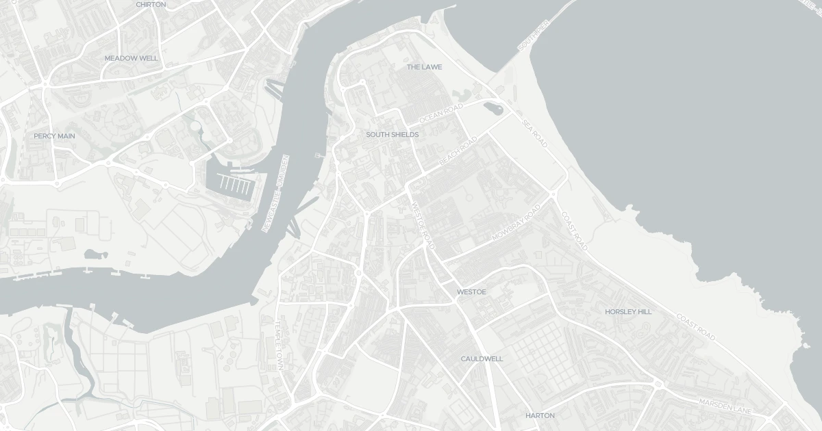
This map shows where the police have recorded crime near the property. Open it to filter by crime type and time period.
The safety score tracks recorded crime month by month against the regional and national average, where higher is safer. In NE33 4PN it has climbed from 2 to 14 out of 100 over the last 12 months, so less crime is being recorded and the area is getting safer.
Sign in to see how crime here has changed over time.
These are the crimes the police recorded in NE33 4PN last month, by type. Violence and sexual offences was the most common, with 89 of 301 reports. This counts reported crime only, so the real figure may be higher.
Sign in to see crime here broken down by type.
This compares NE33 4PN with the average for England and Wales, crime type by type. A green shield means that type is less common here than average; red means more common. Overall NE33 4PN scores 14 against 59, 45 points lower than the national average.
Crimes recorded per 1,000 people, last month. Green is safer, red is higher than average.
| Crime type | NE33 4PN | |
|---|---|---|
| Violence and sexual offences | 64 | |
| Anti-social behaviour | 29 | |
| Shoplifting | 27 | |
| Criminal damage and arson | 23 | |
| Public order | 22 | |
| Burglary | 16 | |
| Other theft | 9 | |
| Drugs | 9 | |
| Vehicle crime | 8 | |
| Bicycle theft | 3 | |
| Other crime | 2 | |
| Possession of weapons | 1 | |
| Robbery | 1 | |
| Theft from the person | 1 | |
| Violent crime | 0 |
Source: Police.UK · ONS population data. Check on data.police.uk
A detached house at 8 DERBY TERRACE, NE33 4PN. Nearby shops include Iceland Chichester, Aldi South, Lidl Central South and Asda South, the closest about 280 m away. The nearest stations are South Shields, Chichester and North Shields, around 644 m away. The Environment Agency rates this address at medium risk of flooding.
Last Asking Price
—
Not currently listed
Propbar's Valuation Beta
£XXX
Range £XXX – £XXX
Price position
Price per sq ft
£XXX
Floor area required
Last Sold
—
No record
Market Timeline
—
Not currently listed
Times Listed
—
No history
Last Asking Rent
—
Not currently listed
Propbar's Valuation Beta
£XXX pcm
Range £XXX – £XXX pcm
Rent position
Gross Yield
X.X%
Annual return rate
Last Let
—
No record
Days on Market
—
Not currently listed
Times Listed
—
No history
1 of 12sections reviewed
Crime in NE33 4PN is well above the national average. Safety score 14 out of 100, where higher is safer. Check the breakdown below.
Building details available below.
Freehold confirmed by HM Land Registry. Unlock to reveal owner, charges and restrictions.
No market history recorded for this property.
Sold prices, sales volumes and market pace for NE33 over the last 24 months.
Nothing on record for this property. See what's being applied for and built around it.
Medium chance of flooding. Between 1 in 100 and 1 in 30 annual chance.
No Energy Performance Certificate data is on file for this property.
Pollutant levels, the official index and health context for this address.
Where NE33 4PN sits on the national prosperity ladder, and what drives it.
Admission chances, ratings and catchment status for 40 schools nearby.
5 essentials within 15 min walk · 13 transport links nearby
We use cookies to provide you with the best experience. By continuing, you agree to our Cookie Policy .