Flood Risk
High chance of flooding. Greater than 1 in 30 annual chance.
High
This is not a sales listing. Propbar data is compiled for informational purposes.
Schools around this property — tap any school for its rating, distance and catchment.
In catchment
0 schools
of 32 nearby
Best primary
Great Chart Primary School
Outstanding
Best secondary
Highworth Grammar School
Outstanding
To university
–
of local leavers
Nearest schools · 21
1 Outstanding · 17 Good · 1 need improvement · 2 not rated
Designated polygons not yet discovered for this LPA
Nearest schools · 11
2 Outstanding · 5 Good · 4 not rated
Designated polygons not yet discovered for this LPA
Source: DfE, Ofsted & local-authority admissions. Estimates use last year’s data and are a guide, not a guarantee.
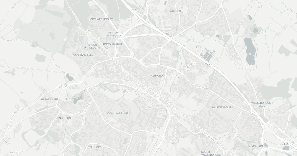
This flat is located at 28, TN23 1YB. Nearby shops include Morrisons Daily, Tesco Ashford, Iceland Ashford and Lidl Central, the closest about 202 m away. The nearest stations are Ashford International Railway Station, Wye Railway Station and Pluckley Railway Station, around 652 m away. The Environment Agency rates this address at high risk of flooding.
Last Asking Price
—
Not currently listed
Propbar's Valuation Beta
£XXX
Range £XXX – £XXX
Price position
Price per sq ft
£XXX
Floor area required
Last Sold
—
No record
Market Timeline
—
Not currently listed
Times Listed
—
No history
Last Asking Rent
—
Not currently listed
Propbar's Valuation Beta
£XXX pcm
Range £XXX – £XXX pcm
Rent position
Gross Yield
X.X%
Annual return rate
Last Let
—
No record
Days on Market
—
Not currently listed
Times Listed
—
No history
1 of 12sections reviewed
High chance of flooding. Greater than 1 in 30 annual chance.
Crime in TN23 1YB is well above the national average. Safety score 7 out of 100, where higher is safer. Check the breakdown below.
Building details available below.
Freehold confirmed by HM Land Registry. Unlock to reveal owner, charges and restrictions.
No market history recorded for this property.
Sold prices, sales volumes and market pace for TN23 over the last 24 months.
Nothing on record for this property. See what's being applied for and built around it.
What band B means for your bills, rental rules and upgrade headroom.
Pollutant levels, the official index and health context for this address.
Where TN23 1YB sits on the national prosperity ladder, and what drives it.
Admission chances, ratings and catchment status for 32 schools nearby.
5 essentials within 15 min walk · 5 transport links nearby
We use cookies to provide you with the best experience. By continuing, you agree to our Cookie Policy .