Building
Building details available below.
Semi Detached
This is not a sales listing. Propbar data is compiled for informational purposes.
Rivers & sea
Medium
Above head height — life-threatening
Surface water
Not modelled
No surface-water risk modelled here
Climate 2080
Stable
Medium projected for 2080
Flood defences
4 nearby
Nearest 401m away
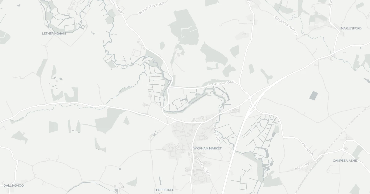
Open the interactive map to see exactly which flood layers cover this property.
One or more sources carry a medium-level risk. Worth understanding which before buying.
About a 1-in-100 chance each year. Modelled depth up to 1.2m — above head height — life-threatening.
No modelled surface-water (heavy-rain) flood risk at this address.
This property sits in Flood Zone 3 — the highest-probability planning zone. Developing or extending here normally needs a Flood Risk Assessment and must pass the planning sequential test.
A high-probability planning zone. FRA and sequential test required, and an exception test may apply for more-vulnerable uses.
Flood defences sit nearby. They reduce but never remove flood risk, and may not protect this specific property. A residual flood risk remains at this property.
Flood defences sit nearby. They reduce but never remove flood risk, and may not protect this specific property. A residual flood risk remains at this property.
On River Deben, maintained by Private individual, Company or Charity.
Climate models project flood risk here will stay broadly stable through 2080.
Flood risk here is projected to stay broadly stable through the 2080s under current climate models.
At a medium flood risk, it is worth checking the flood cover and excess when you get a quote. The Flood Re scheme may help for eligible homes built before 2009.
At a medium flood risk, it is worth checking the flood cover and excess when you get a quote.
A government-backed scheme that helps keep flood insurance affordable for eligible homes built before 2009.
General guidance based on the modelled flood-risk level — not an insurance quote or advice.
Source: Environment Agency · National Flood Risk Assessment (NaFRA 2), via Vepler Flood . Check on GOV.UK
A semidetached at GLEVERING HALL FARM, IP13 0EX. Land Registry records a sale at £160,000 in December 2007. Nearby shops include Morrisons Daily Wickham, East of England Co-operative Co and Morrisons Daily Melton Woodbridge The STR, the closest about 954 m away. The nearest stations are Entrance, Wickham Market Railway Station and Melton Railway Station, around 2.8 km away. The Environment Agency rates this address at medium risk of flooding.
Last Asking Price
—
Not currently listed
Propbar's Valuation Beta
£XXX
Range £XXX – £XXX
Price position
Price per sq ft
£XXX
Floor area required
Last Sold
£160,000
Sold December 2007
Market Timeline
—
Not currently listed
Times Listed
—
No history
Last Asking Rent
—
Not currently listed
Propbar's Valuation Beta
£XXX pcm
Range £XXX – £XXX pcm
Rent position
Gross Yield
X.X%
Annual return rate
Last Let
—
No record
Days on Market
—
Not currently listed
Times Listed
—
No history
1 of 12sections reviewed
Building details available below.
Freehold confirmed by HM Land Registry. Unlock to reveal owner, charges and restrictions.
Listing history, price moves and time on market for this address.
Sold prices, sales volumes and market pace for IP13 over the last 24 months.
Nothing on record for this property. See what's being applied for and built around it.
Medium chance of flooding. Between 1 in 100 and 1 in 30 annual chance.
No Energy Performance Certificate data is on file for this property.
Safety score for IP13 0EX, the recent trend and offence-by-offence breakdown.
Pollutant levels, the official index and health context for this address.
Where IP13 0EX sits on the national prosperity ladder, and what drives it.
Admission chances, ratings and catchment status for 3 schools nearby.
5 transport links nearby
We use cookies to provide you with the best experience. By continuing, you agree to our Cookie Policy .