Crime & Safety
Crime in TN23 6JS is well above the national average. Safety score 2 out of 100, where higher is safer. Check the breakdown below.
Very high crime
This is not a sales listing. Propbar data is compiled for informational purposes.
A fairly typical UK area, close to the national average across housing, work and daily life.
Below averageMore prosperous than 21% of UK neighbourhoods.
Prosperity score
34.1
out of 100
Typical home
£265,000
about the UK average
3-yr price growth
-10.4%
over 3 years
Each part of the local picture, read from your side. Tap any topic for the figures behind it.
Typical home about £265,000, about the same as most of the UK, and prices are down 10.4% over the last 3 years.
Local pay runs below the UK average. That can mean less competition for homes now, and gentler price growth later.
Fewer people here are in work than across the UK, which can weigh on local demand.
Safety, health or broadband here lag the UK average, worth a closer look.
Vepler Prosperity Index v2026.1 · IMD 2025, ONS Census 2021, HM Land Registry, VOA · Area-level (LSOA E01024001), not this exact home. Updated Jun 2026.
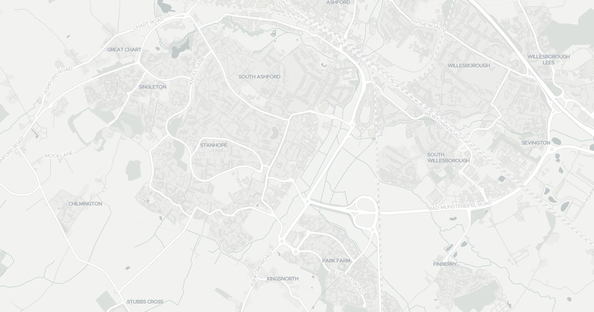
Detached house at 9 Wotton Road, TN23 6JS. It offers around 110 m² of floor space. The property holds an EPC rating of D. Nearby shops include Budgens Bungalow, Morrisons Daily, Asda Ashford and M&S Ashford, the closest about 355 m away. The nearest stations are Ashford International Railway Station, Ham Street Railway Station and Wye Railway Station, around 1.5 km away. The Environment Agency records no modelled flood risk at this address.
Last Asking Price
—
Not currently listed
Propbar's Valuation Beta
£XXX
Range £XXX – £XXX
Price position
Price per sq ft
£XXX
Based on 1,184 ft²
Last Sold
—
No record
Market Timeline
—
Not currently listed
Times Listed
—
No history
Last Asking Rent
—
Not currently listed
Propbar's Valuation Beta
£XXX pcm
Range £XXX – £XXX pcm
Rent position
Gross Yield
X.X%
Annual return rate
Last Let
—
No record
Days on Market
—
Not currently listed
Times Listed
—
No history
1 of 12sections reviewed
Crime in TN23 6JS is well above the national average. Safety score 2 out of 100, where higher is safer. Check the breakdown below.
Building details available below.
Freehold confirmed by HM Land Registry. Unlock to reveal owner, charges and restrictions.
No market history recorded for this property.
Sold prices, sales volumes and market pace for TN23 over the last 24 months.
Nothing on record for this property. See what's being applied for and built around it.
Assessed: no modelled flood risk at this address.
What band D means for your bills, rental rules and upgrade headroom.
Pollutant levels, the official index and health context for this address.
Where TN23 6JS sits on the national prosperity ladder, and what drives it.
Admission chances, ratings and catchment status for 33 schools nearby.
2 essentials within 15 min walk · 5 transport links nearby
We use cookies to provide you with the best experience. By continuing, you agree to our Cookie Policy .