Local Access
5 transport links nearby
Poor
This is not a sales listing. Propbar data is compiled for informational purposes.
Schools around this property — tap any school for its rating, distance and catchment.
In catchment
0 schools
of 7 nearby
Best primary
St Michael's Church of England Primary School
Good
Best secondary
Greenfields School
Good
To university
–
of local leavers
Nearest schools · 4
3 Good · 1 not rated
Designated polygons not yet discovered for this LPA
Nearest schools · 3
3 Good
Designated polygons not yet discovered for this LPA
Source: DfE, Ofsted & local-authority admissions. Estimates use last year’s data and are a guide, not a guarantee.
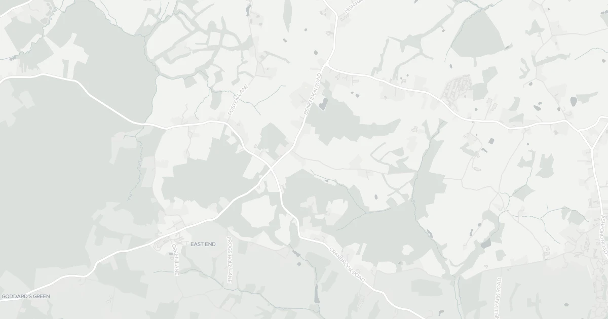
A detached house at Little Whatmans, TN27 8DF. Nearby shops include Budgens Tenterden, Tesco Tenterden, Waitrose Tenterden and Co-op FR, the closest about 3.7 km away. The nearest stations are Rolvenden Railway Station, Tenterden Town Railway Station and Wittersham Road Railway Station, around 3.7 km away. The Environment Agency records no modelled flood risk at this address.
Last Asking Price
—
Not currently listed
Propbar's Valuation Beta
£XXX
Range £XXX – £XXX
Price position
Price per sq ft
£XXX
Floor area required
Last Sold
—
No record
Market Timeline
—
Not currently listed
Times Listed
—
No history
Last Asking Rent
—
Not currently listed
Propbar's Valuation Beta
£XXX pcm
Range £XXX – £XXX pcm
Rent position
Gross Yield
X.X%
Annual return rate
Last Let
—
No record
Days on Market
—
Not currently listed
Times Listed
—
No history
1 of 12sections reviewed
5 transport links nearby
Building details available below.
Freehold confirmed by HM Land Registry. Unlock to reveal owner, charges and restrictions.
No market history recorded for this property.
Sold prices, sales volumes and market pace for TN27 over the last 24 months.
Nothing on record for this property. See what's being applied for and built around it.
Assessed: no modelled flood risk at this address.
No Energy Performance Certificate data is on file for this property.
Safety score for TN27 8DF, the recent trend and offence-by-offence breakdown.
Pollutant levels, the official index and health context for this address.
Where TN27 8DF sits on the national prosperity ladder, and what drives it.
Admission chances, ratings and catchment status for 7 schools nearby.
We use cookies to provide you with the best experience. By continuing, you agree to our Cookie Policy .