Crime & Safety
Crime in NE34 0NN is well above the national average. Safety score 19 out of 100, where higher is safer. Check the breakdown below.
Very high crime
This is not a sales listing. Propbar data is compiled for informational purposes.
Walkability
38 / 100
Car-dependent
Transit
56 / 100
Some transit
Closest essential
Lidl Tyne
4 min walk
Closest transport
Tyne Dock
7 min walk
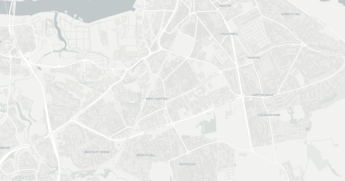
See nearby essentials and transport links overlaid on the property's location.
2 essentials within a 15-min walk. Closest nearby: 5 grocers.
Discount supermarket · Budget weekly shop, limited range, low prices · 0.24 km
Supermarket · Big weekly shop, low prices, larger formats common · 0.93 km
Supermarket · Format varies by store — check before a big shop · 1.05 km
Supermarket · Format varies by store — check before a big shop · 1.09 km
Convenience store · Top-up shop, ethical & local sourcing · 1.27 km
5 rail stations · 5 metro stops · 1 bus stop nearby. Check direct routes & frequency for your journeys.
Railway station · National Rail — check destinations & direct services · 2.13 km
Railway station · National Rail — check destinations & direct services · 3.13 km
Railway station · National Rail — check destinations & direct services · 5.84 km
Railway station · National Rail — check destinations & direct services · 7.66 km
Railway station · National Rail — check destinations & direct services · 7.92 km
Metro / Underground · Frequent urban transit, short-hop city travel · 0.45 km
Metro / Underground · Frequent urban transit, short-hop city travel · 1.11 km
Metro / Underground · Frequent urban transit, short-hop city travel · 1.55 km
Metro / Underground · Frequent urban transit, short-hop city travel · 1.78 km
Metro / Underground · Frequent urban transit, short-hop city travel · 2.85 km
Bus stop · Local bus services, check routes & frequency · 6.71 km
2 ferry terminals nearby. For long-distance travel — check destinations & routes.
Ferry terminal · Ferry services — check routes & destinations · 2.31 km
Ferry terminal · Ferry services — check routes & destinations · 2.74 km
Scores blend proximity and density of nearby essentials and transport links. Closer, with more options, scores higher.
A other at 4, NE34 0NN. The property holds an EPC rating of C. Nearby shops include Lidl Tyne, Asda Simonside, Sainsburys Simonside and Sainsburys South, the closest about 242 m away. The nearest stations are Tyne Dock, Simonside and Chichester, around 452 m away. The Environment Agency records no modelled flood risk at this address.
Last Asking Price
—
Not currently listed
Propbar's Valuation Beta
£XXX
Range £XXX – £XXX
Price position
Price per sq ft
£XXX
Floor area required
Last Sold
—
No record
Market Timeline
—
Not currently listed
Times Listed
—
No history
Last Asking Rent
—
Not currently listed
Propbar's Valuation Beta
£XXX pcm
Range £XXX – £XXX pcm
Rent position
Gross Yield
X.X%
Annual return rate
Last Let
—
No record
Days on Market
—
Not currently listed
Times Listed
—
No history
1 of 12sections reviewed
Crime in NE34 0NN is well above the national average. Safety score 19 out of 100, where higher is safer. Check the breakdown below.
Building details available below.
Freehold confirmed by HM Land Registry. Unlock to reveal owner, charges and restrictions.
No market history recorded for this property.
Sold prices, sales volumes and market pace for NE34 over the last 24 months.
Nothing on record for this property. See what's being applied for and built around it.
Assessed: no modelled flood risk at this address.
What band C means for your bills, rental rules and upgrade headroom.
Pollutant levels, the official index and health context for this address.
Where NE34 0NN sits on the national prosperity ladder, and what drives it.
Admission chances, ratings and catchment status for 40 schools nearby.
2 essentials within 15 min walk · 13 transport links nearby
We use cookies to provide you with the best experience. By continuing, you agree to our Cookie Policy .