Local Access
8 transport links nearby
Poor
This is not a sales listing. Propbar data is compiled for informational purposes.
Walkability
0 / 100
Car-only
Transit
34 / 100
Limited transit
Closest essential
Co-op Sellindge
4 min drive
Closest transport
Westenhanger Railway Station
8 min drive
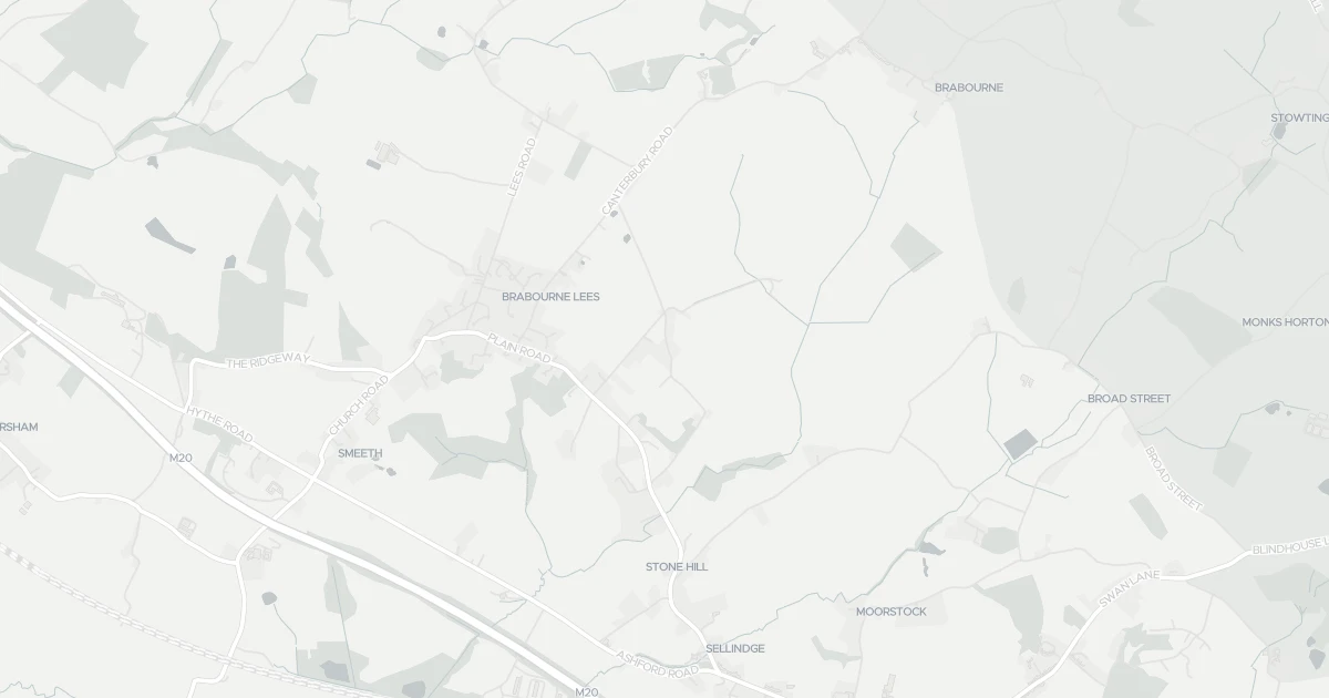
See nearby essentials and transport links overlaid on the property's location.
Nothing within a 15-min walk. Closest essentials are a short drive away.
Convenience store · Top-up shop, ethical & local sourcing · 2.76 km
Supermarket · Format varies by store — check before a big shop · 5.14 km
Frozen specialist · Frozen & convenience foods, budget pricing · 5.77 km
Convenience store · Top-up shop, fresh-led range · 6.13 km
Convenience store · Top-up shop, ethical & local sourcing · 6.88 km
4 rail stations · 2 metro stops nearby. Check direct routes & frequency for your journeys.
Railway station · National Rail — check destinations & direct services · 4.84 km
Railway station · National Rail — check destinations & direct services · 6.72 km
Railway station · National Rail — check destinations & direct services · 7.92 km
Railway station · National Rail — check destinations & direct services · 8.02 km
Metro / Underground · Frequent urban transit, short-hop city travel · 8.38 km
Metro / Underground · Frequent urban transit, short-hop city travel · 9.78 km
1 airport · 1 ferry terminal nearby. For long-distance travel — check destinations & routes.
Airport · Flights & long-distance travel — check destinations · 5.18 km
Ferry terminal · Ferry services — check routes & destinations · 9.75 km
Scores blend proximity and density of nearby essentials and transport links. Closer, with more options, scores higher.
Detached house at The Stables, TN25 6RE. It offers around 44 m² of floor space. The property holds an EPC rating of C. Nearby shops include Co-op Sellindge, Tesco Ashford, Iceland Ashford and Budgens Willesborough, the closest about 2.8 km away. The nearest stations are Westenhanger Railway Station, Sandling Railway Station and Wye Railway Station, around 4.8 km away. The Environment Agency records no modelled flood risk at this address.
Last Asking Price
£50,000
Last on market 13 years ago
Propbar's Valuation Beta
£XXX
Range £XXX – £XXX
Price position
Price per sq ft
£XXX
Based on 474 ft²
Last Sold
—
No record
Market Timeline
—
Not currently listed
Times Listed
1 listing
First listing
Last Asking Rent
—
Not currently listed
Propbar's Valuation Beta
£XXX pcm
Range £XXX – £XXX pcm
Rent position
Gross Yield
X.X%
Annual return rate
Last Let
—
No record
Days on Market
—
Not currently listed
Times Listed
—
No history
1 of 12sections reviewed
8 transport links nearby
Building details available below.
We don't hold an HM Land Registry title on record for this address. This is common for leasehold flats, new builds and unregistered land.
Listing history, price moves and time on market for this address.
Sold prices, sales volumes and market pace for TN25 over the last 24 months.
Nothing on record for this property. See what's being applied for and built around it.
Assessed: no modelled flood risk at this address.
What band C means for your bills, rental rules and upgrade headroom.
Safety score for TN25 6RE, the recent trend and offence-by-offence breakdown.
Pollutant levels, the official index and health context for this address.
Where TN25 6RE sits on the national prosperity ladder, and what drives it.
Admission chances, ratings and catchment status for 8 schools nearby.
We use cookies to provide you with the best experience. By continuing, you agree to our Cookie Policy .