Crime & Safety
Crime in NR31 6LS is well above the national average. Safety score 19 out of 100, where higher is safer. Check the breakdown below.
Very high crime
This is not a sales listing. Propbar data is compiled for informational purposes.
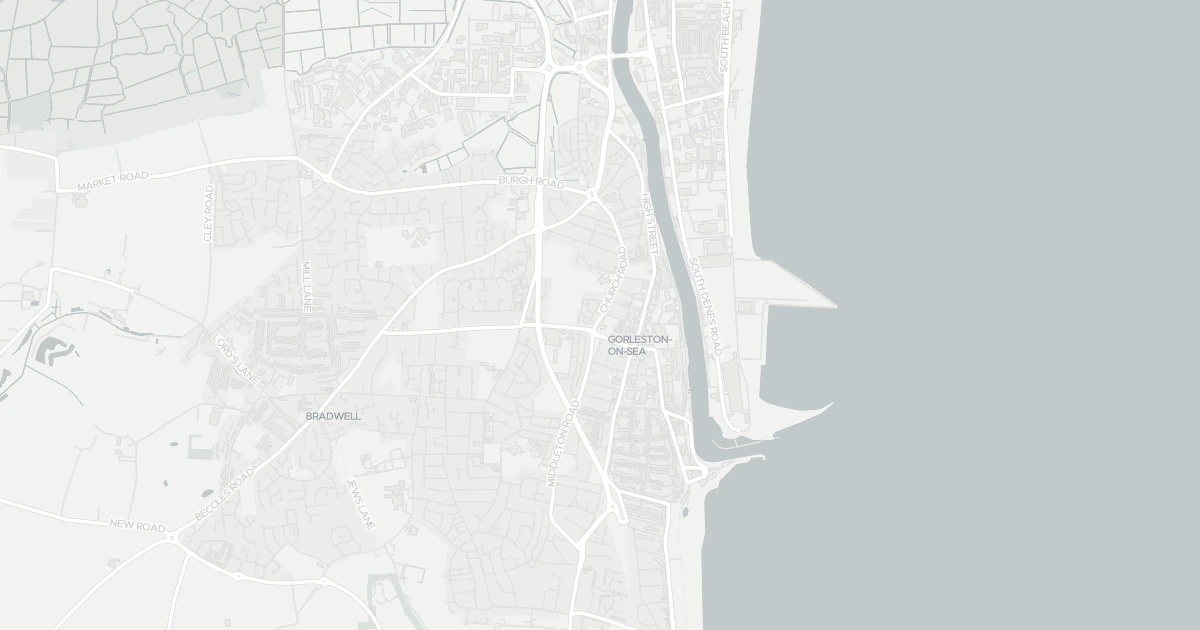
Applications around this property, plus toggleable planning constraints — LPA boundary, AONB, protected woodlands and scenic landscapes.
No planning applications recorded for this address in the last 5 years.
No planning applications on record for this address in the last 5 years.
5 nearby planning applications, newest first.
Quiet, settled area — the 5 nearby planning applications are routine home improvements. Nothing major or character-changing is planned within 1km.
Formation of 2 new window openings, installation of an Air Source Heat Pump with enclosure, and associated works to a listed building in connection with use as Family Centre.
Pending DecisionInstallation of a dropped kerb in front of the property driveway.
Pending DecisionDemolition of existing garage; Erection of replacement detached garage.
Pending DecisionUse of first floor roof as an external terrace; Installation of balcony balustrades around the terrace; Amendments to existing flat roof; Installation of new upper floor window to rear and french doors to side; Modifications to existing windows.
Pending DecisionSingle storey rear extension
Pending DecisionMajor schemes can change the outlook from this property. Your conveyancer's search will confirm live applications.
Source: Planning register, via Vepler Planning. This does not replace an official Local Authority Search (LLC1/CON29).
This four-bedroom terraced house is located at 99 Church Road, NR31 6LS. It offers around 131 m² of floor space. The property holds an EPC rating of D. Land Registry records a sale at £54,500 in August 1998. Nearby shops include Iceland Gorleston on, Farmfoods Gorleston, Morrisons Gorleston and Morrisons Daily, the closest about 222 m away. The nearest stations are Great Yarmouth Railway Station, Berney Arms Railway Station and Haddiscoe Railway Station, around 3.6 km away. The Environment Agency records no modelled flood risk at this address.
Last Asking Price
£159,995
Last on market 12 years ago
Propbar's Valuation Beta
£XXX
Range £XXX – £XXX
Price position
Price per sq ft
£XXX
Based on 1,410 ft²
Last Sold
£159,226
Sold March 2019
Market Timeline
—
Not currently listed
Times Listed
1 listing
First listing
Last Asking Rent
—
Not currently listed
Propbar's Valuation Beta
£XXX pcm
Range £XXX – £XXX pcm
Rent position
Gross Yield
X.X%
Annual return rate
Last Let
—
No record
Days on Market
—
Not currently listed
Times Listed
—
No history
1 of 12sections reviewed
Crime in NR31 6LS is well above the national average. Safety score 19 out of 100, where higher is safer. Check the breakdown below.
Building details available below.
Freehold confirmed by HM Land Registry. Unlock to reveal owner, charges and restrictions.
Listing history, price moves and time on market for this address.
Sold prices, sales volumes and market pace for NR31 over the last 24 months.
Nothing on record for this property. See what's being applied for and built around it.
Assessed: no modelled flood risk at this address.
What band D means for your bills, rental rules and upgrade headroom.
Pollutant levels, the official index and health context for this address.
Where NR31 6LS sits on the national prosperity ladder, and what drives it.
You’re in catchment for 1 of 29 nearby schools.
5 essentials within 15 min walk · 5 transport links nearby
We use cookies to provide you with the best experience. By continuing, you agree to our Cookie Policy .