Crime & Safety
Crime in NR31 6LS is well above the national average. Safety score 19 out of 100, where higher is safer. Check the breakdown below.
Very high crime
This is not a sales listing. Propbar data is compiled for informational purposes.
Terraced
4 beds
How this section works
The basics below come free from publicly available information. Facts marked with a lock come from Ordnance Survey's National Geographic Database. They come with Propbar Plus.
Unlock all 10 building details with Plus
construction material, basement presence, exact year built and 7 more
Already a member?
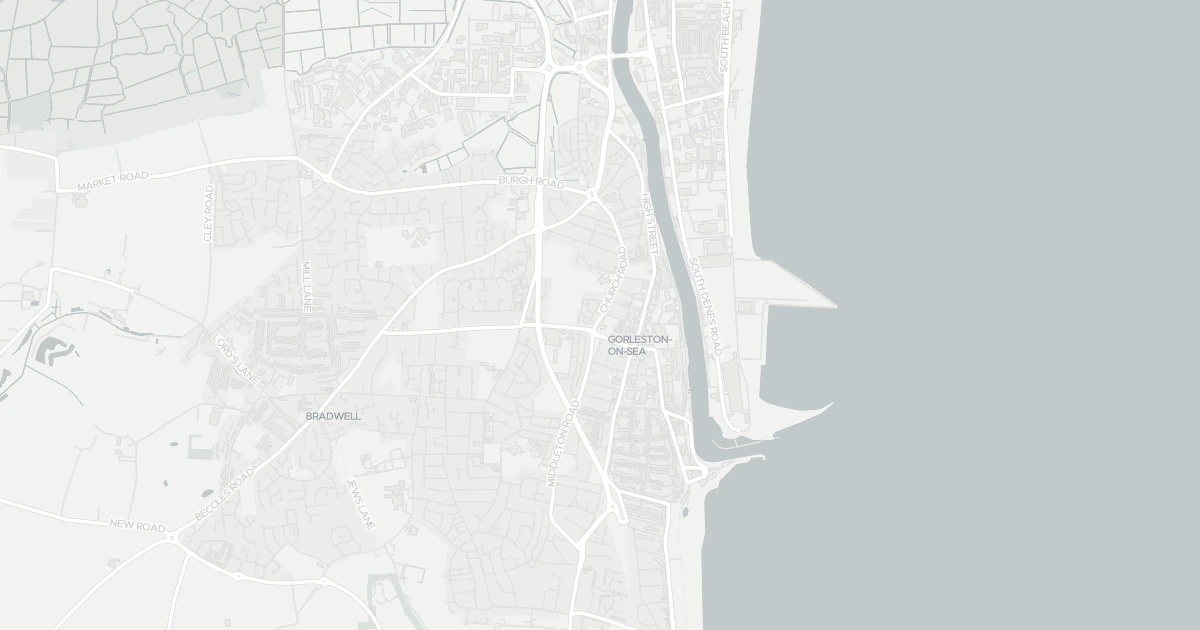
This four-bedroom terraced house is located at 99 Church Road, NR31 6LS. It offers around 131 m² of floor space. The property holds an EPC rating of D. Land Registry records a sale at £54,500 in August 1998. Nearby shops include Iceland Gorleston on, Farmfoods Gorleston, Morrisons Gorleston and Morrisons Daily, the closest about 222 m away. The nearest stations are Great Yarmouth Railway Station, Berney Arms Railway Station and Haddiscoe Railway Station, around 3.6 km away. The Environment Agency records no modelled flood risk at this address.
Last Asking Price
£159,995
Last on market 12 years ago
Propbar's Valuation Beta
£XXX
Range £XXX – £XXX
Price position
Price per sq ft
£XXX
Based on 1,410 ft²
Last Sold
£159,226
Sold March 2019
Market Timeline
—
Not currently listed
Times Listed
1 listing
First listing
Last Asking Rent
—
Not currently listed
Propbar's Valuation Beta
£XXX pcm
Range £XXX – £XXX pcm
Rent position
Gross Yield
X.X%
Annual return rate
Last Let
—
No record
Days on Market
—
Not currently listed
Times Listed
—
No history
1 of 12sections reviewed
Crime in NR31 6LS is well above the national average. Safety score 19 out of 100, where higher is safer. Check the breakdown below.
Building details available below.
Freehold confirmed by HM Land Registry. Unlock to reveal owner, charges and restrictions.
Listing history, price moves and time on market for this address.
Sold prices, sales volumes and market pace for NR31 over the last 24 months.
Nothing on record for this property. See what's being applied for and built around it.
Assessed: no modelled flood risk at this address.
What band D means for your bills, rental rules and upgrade headroom.
Pollutant levels, the official index and health context for this address.
Where NR31 6LS sits on the national prosperity ladder, and what drives it.
You’re in catchment for 1 of 29 nearby schools.
5 essentials within 15 min walk · 5 transport links nearby
We use cookies to provide you with the best experience. By continuing, you agree to our Cookie Policy .