Local Access
4 transport links nearby
Poor
This is not a sales listing. Propbar data is compiled for informational purposes.
Schools around this property — tap any school for its rating, distance and catchment.
In catchment
0 schools
of 14 nearby
Best primary
Great Chart Primary School
Outstanding
Best secondary
Goldwyn School
Outstanding
To university
–
of local leavers
Nearest schools · 10
1 Outstanding · 8 Good · 1 need improvement
Designated polygons not yet discovered for this LPA
Nearest schools · 4
1 Outstanding · 2 Good · 1 not rated
Designated polygons not yet discovered for this LPA
Source: DfE, Ofsted & local-authority admissions. Estimates use last year’s data and are a guide, not a guarantee.
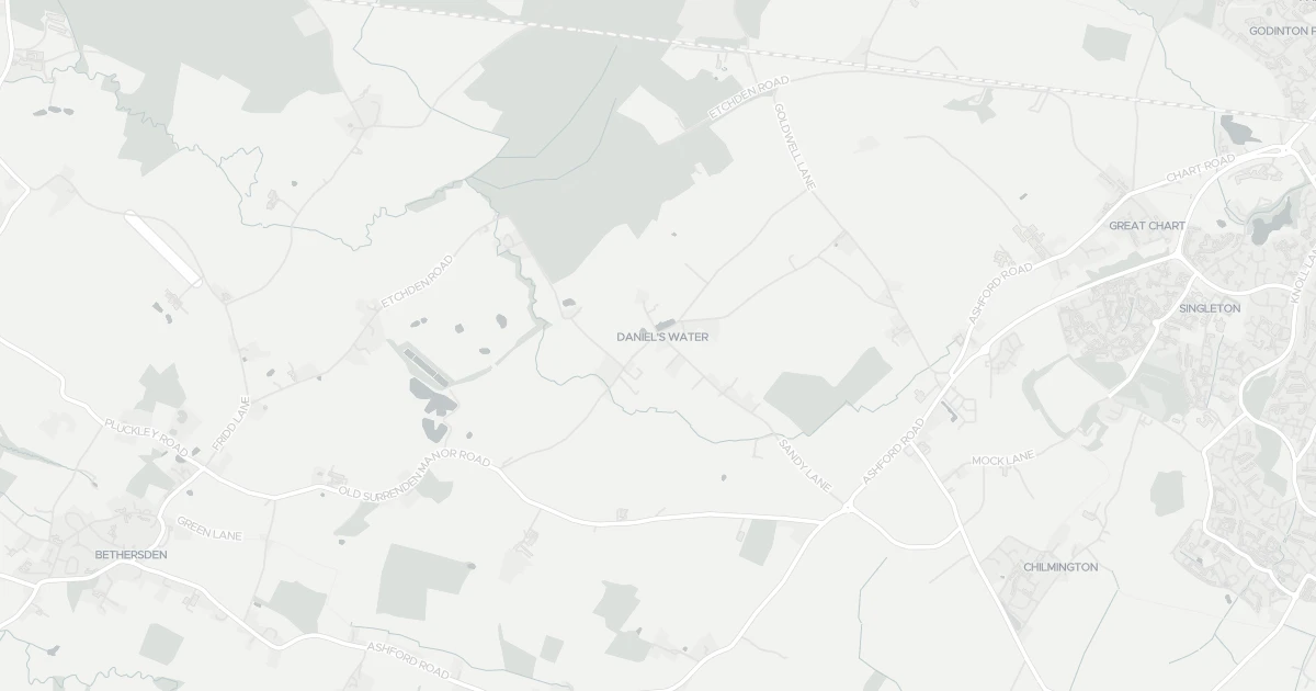
A detached house at ANNEXE AT, TN26 1JN. Nearby shops include Morrisons Daily, The Southern Co-operative Co, Co-op Brookfield and Budgens Bungalow, the closest about 3.0 km away. The nearest stations are Pluckley Railway Station, Ashford International Railway Station and Charing Railway Station, around 4.1 km away. The Environment Agency records no modelled flood risk at this address.
Last Asking Price
—
Not currently listed
Propbar's Valuation Beta
£XXX
Range £XXX – £XXX
Price position
Price per sq ft
£XXX
Floor area required
Last Sold
—
No record
Market Timeline
—
Not currently listed
Times Listed
—
No history
Last Asking Rent
—
Not currently listed
Propbar's Valuation Beta
£XXX pcm
Range £XXX – £XXX pcm
Rent position
Gross Yield
X.X%
Annual return rate
Last Let
—
No record
Days on Market
—
Not currently listed
Times Listed
—
No history
1 of 12sections reviewed
4 transport links nearby
Building details available below.
We don't hold an HM Land Registry title on record for this address. This is common for leasehold flats, new builds and unregistered land.
No market history recorded for this property.
Sold prices, sales volumes and market pace for TN26 over the last 24 months.
Nothing on record for this property. See what's being applied for and built around it.
Assessed: no modelled flood risk at this address.
No Energy Performance Certificate data is on file for this property.
Safety score for TN26 1JN, the recent trend and offence-by-offence breakdown.
Pollutant levels, the official index and health context for this address.
Where TN26 1JN sits on the national prosperity ladder, and what drives it.
Admission chances, ratings and catchment status for 14 schools nearby.
We use cookies to provide you with the best experience. By continuing, you agree to our Cookie Policy .