Flood Risk
High chance of flooding. Greater than 1 in 30 annual chance.
High
This is not a sales listing. Propbar data is compiled for informational purposes.
Rivers & sea
High
Above head height — life-threatening
Surface water
Not modelled
No surface-water risk modelled here
Climate 2080
Stable
High projected for 2080
Flood defences
Not assessed
No defence data on file
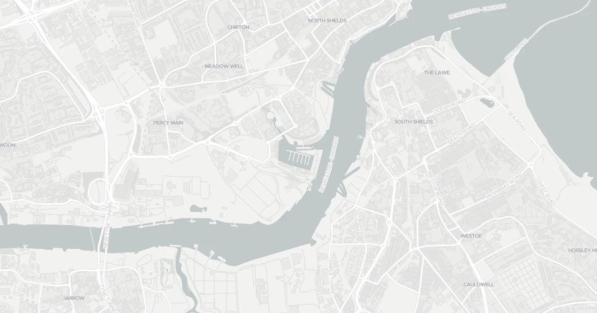
Open the interactive map to see exactly which flood layers cover this property.
At least one flood source carries a high risk. Review the rows below carefully.
About a 1-in-30 chance each year. Modelled depth up to 1.2m — above head height — life-threatening.
No modelled surface-water (heavy-rain) flood risk at this address.
This property sits in Flood Zone 3 — the highest-probability planning zone. Developing or extending here normally needs a Flood Risk Assessment and must pass the planning sequential test.
A high-probability planning zone. FRA and sequential test required, and an exception test may apply for more-vulnerable uses.
Climate models project flood risk here will stay broadly stable through 2080.
Flood risk here is projected to stay broadly stable through the 2080s under current climate models.
At a high flood risk, home insurance can cost more or need a specialist insurer. The Flood Re scheme can help keep premiums affordable for eligible homes built before 2009.
At a high flood risk, home insurance can cost more or need a specialist insurer. Flood Re can help keep premiums affordable for eligible homes.
A government-backed scheme that helps keep flood insurance affordable for eligible homes built before 2009.
General guidance based on the modelled flood-risk level — not an insurance quote or advice.
Source: Environment Agency · National Flood Risk Assessment (NaFRA 2), via Vepler Flood . Check on GOV.UK
Houseboat at Boat At E7 Royal Quays Marina, NE29 6DU. Nearby shops include Heron Market, Asda South, Heron Frederick and Lidl Central South, the closest about 917 m away. The nearest stations are Meadow Well, North Shields and South Shields, around 1.1 km away. The Environment Agency rates this address at high risk of flooding.
Last Asking Price
—
Not currently listed
Propbar's Valuation Beta
£XXX
Range £XXX – £XXX
Price position
Price per sq ft
£XXX
Floor area required
Last Sold
—
No record
Market Timeline
—
Not currently listed
Times Listed
—
No history
Last Asking Rent
—
Not currently listed
Propbar's Valuation Beta
£XXX pcm
Range £XXX – £XXX pcm
Rent position
Gross Yield
X.X%
Annual return rate
Last Let
—
No record
Days on Market
—
Not currently listed
Times Listed
—
No history
1 of 12sections reviewed
High chance of flooding. Greater than 1 in 30 annual chance.
13 transport links nearby
Building details available below.
We don't hold an HM Land Registry title on record for this address. This is common for leasehold flats, new builds and unregistered land.
No market history recorded for this property.
Sold prices, sales volumes and market pace for NE29 over the last 24 months.
Nothing on record for this property. See what's being applied for and built around it.
No Energy Performance Certificate data is on file for this property.
Safety score for NE29 6DU, the recent trend and offence-by-offence breakdown.
Pollutant levels, the official index and health context for this address.
Where NE29 6DU sits on the national prosperity ladder, and what drives it.
Admission chances, ratings and catchment status for 40 schools nearby.
We use cookies to provide you with the best experience. By continuing, you agree to our Cookie Policy .